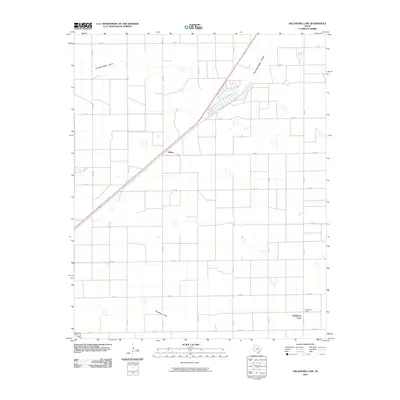
2010 Map of Oklahoma Lane
USGS Topo · Published 2010About this map
Oklahoma Lane and the small settlement of Wilsey anchor this high plains landscape in Parmer County, defined by a rigorous grid of section lines and rural farm-to-market roads. The terrain is marked by the subtle drainage patterns of Running Water Draw in the north and Progress Draw in the south, which cut across the otherwise flat agricultural expanse. These ephemeral watercourses were historically vital for local hydrology before the widespread adoption of modern irrigation shown by the circular patterns on the sheet.
Find a feature on this map
22 named features on this map. Tap any name to fly to it.
Don’t see what you’re looking for? This feature index may not catch every label — zoom into the map to look around manually.
Map Details
Editions of this 2010 Oklahoma Lane Map
This is the sole edition of this map. No revisions or reprints were ever made.
Other maps of this area

1954 · Clovis
USGS Topo · 1:250,000

1957 · Clovis
USGS Topo · 1:62,500

1957 · Pleasant Hill
USGS Topo · 1:62,500

1958 · Clovis
USGS Topo · 1:250,000

1963 · Lariat
USGS Topo · 1:24,000

1963 · Oklahoma Lane
USGS Topo · 1:24,000

1963 · Lariat NE
USGS Topo · 1:24,000

1963 · Progress
USGS Topo · 1:24,000

1965 · Bovina
USGS Topo · 1:24,000

1965 · Parmerton
USGS Topo · 1:24,000