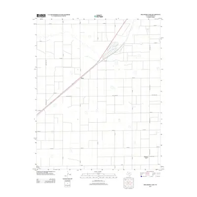
2012 Map of Oklahoma Lane
USGS Topo · Published 2012About this map
Oklahoma Lane serves as a primary point of reference in this corner of the High Plains, where the agricultural landscape is defined by a rigorous grid of section-line roads. The settlement of Wilsey sits further north along a diagonal highway route that breaks the otherwise rectangular geometry of Parmer County. This survey reveals a sparsely populated terrain dominated by irrigation patterns and livestock operations, typical of the Texas Panhandle. Transportation is critical to the local economy, with thoroughfares like Ranch Road 1731 and Fm-145 providing the necessary links between isolated farmsteads and regional trade centers. The map depicts a highly managed environment where natural features are few, replaced by the engineered efficiency of rural roads such as Co Road R and Co Road Y.
Find a feature on this map
21 named features on this map. Tap any name to fly to it.
Don’t see what you’re looking for? This feature index may not catch every label — zoom into the map to look around manually.
Map Details
Editions of this 2012 Oklahoma Lane Map
This is the sole edition of this map. No revisions or reprints were ever made.
Other maps of this area

1954 · Clovis
USGS Topo · 1:250,000

1957 · Clovis
USGS Topo · 1:62,500

1957 · Pleasant Hill
USGS Topo · 1:62,500

1958 · Clovis
USGS Topo · 1:250,000

1963 · Lariat
USGS Topo · 1:24,000

1963 · Oklahoma Lane
USGS Topo · 1:24,000

1963 · Lariat NE
USGS Topo · 1:24,000

1963 · Progress
USGS Topo · 1:24,000

1965 · Bovina
USGS Topo · 1:24,000

1965 · Parmerton
USGS Topo · 1:24,000