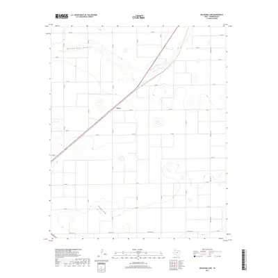
2019 Map of Oklahoma Lane
USGS Topo · Published 2019About this map
Running Water Draw carves a gentle path across this section of the Texas Panhandle, defining the subtle topography of Parmer County. The landscape is dominated by a precise grid of county roads and agricultural boundaries, centered around the small settlement of Wilsey. This 2019 survey illustrates the modern ranching and farming infrastructure of the High Plains, where drainage features like Progress Draw dictate the local geography. Significant transportation arteries, including Fm 3333 and Ranch Rd 1731, facilitate movement between these rural holdings. The map provides a clear record of land use and property divisions, essential for researchers tracking contemporary land ownership and the evolution of the regional road network near the New Mexico border.
Find a feature on this map
22 named features on this map. Tap any name to fly to it.
Don’t see what you’re looking for? This feature index may not catch every label — zoom into the map to look around manually.
Map Details
Editions of this 2019 Oklahoma Lane Map
This is the sole edition of this map. No revisions or reprints were ever made.
Other maps of this area

1954 · Clovis
USGS Topo · 1:250,000

1957 · Clovis
USGS Topo · 1:62,500

1957 · Pleasant Hill
USGS Topo · 1:62,500

1958 · Clovis
USGS Topo · 1:250,000

1963 · Lariat
USGS Topo · 1:24,000

1963 · Oklahoma Lane
USGS Topo · 1:24,000

1963 · Lariat NE
USGS Topo · 1:24,000

1963 · Progress
USGS Topo · 1:24,000

1965 · Bovina
USGS Topo · 1:24,000

1965 · Parmerton
USGS Topo · 1:24,000