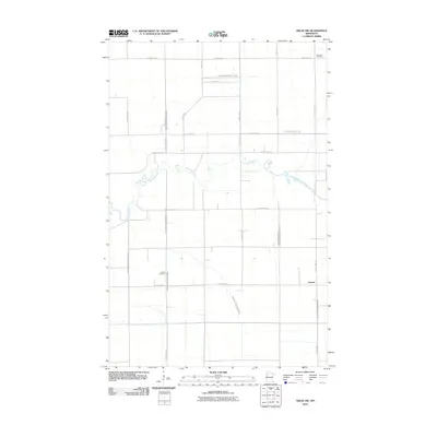
2010 Map of Oklee NW
USGS Topo · Published 2010About this map
The Clearwater River meanders across this rural landscape in Red Lake County, defining the drainage patterns of an area heavily modified for agriculture. A complex network of engineered waterways, including County Ditch Number Eighteen and Judicial Ditch Number One, crisscrosses the section lines, reflecting decades of efforts to manage the water table for farming. The small settlement of Garnes remains a focal point in the eastern portion of the quadrangle.
Find a feature on this map
29 named features on this map. Tap any name to fly to it.
Don’t see what you’re looking for? This feature index may not catch every label — zoom into the map to look around manually.
Map Details
Editions of this 2010 Oklee NW Map
This is the sole edition of this map. No revisions or reprints were ever made.
Other maps of this area
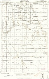
1918 · Terrebonne
USGS Topo · 1:62,500
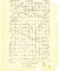
1919 · Grit
USGS Topo · 1:62,500
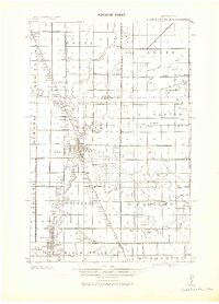
1943 · Thief River Falls
USGS Topo · 1:62,500

1952 · Grand Forks
USGS Topo · 1:250,000
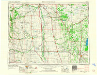
1952 · Thief River Falls
USGS Topo · 1:250,000

1954 · Bemidji
USGS Topo · 1:250,000
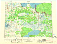
1954 · Roseau
USGS Topo · 1:250,000
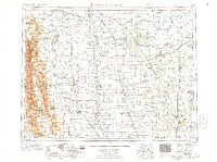
1956 · Thief River Falls
USGS Topo · 1:250,000

1956 · Grand Forks
USGS Topo · 1:250,000
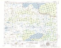
1957 · Roseau
USGS Topo · 1:250,000