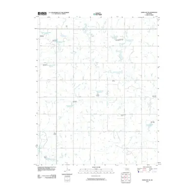
2010 Map of Okmulgee NE
USGS Topo · Published 2010About this map
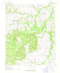
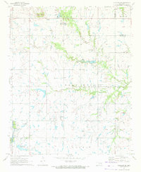
Antioch Cemetery and the surrounding rural landscapes of Okmulgee County are defined by an extensive water management system developed in the mid-to-late 20th century. Numerous numbered flood control structures, such as Cane Creek Site 12 Reservoir and Cane Creek Site 17 Reservoir, dot the drainage basins of Cane Creek and Coal Creek. This network of dams and reservoirs represents a significant transformation of the prairie landscape, designed to stabilize the local agricultural environment. Near the southern edge of the survey, Morris Lake and the Morris Dam serve as prominent landmarks alongside the small-scale aviation hub at Ashley Airport. The grid-based road system, including routes like Bald Hill Rd and Gun Club Rd, connects the scattered farmsteads and ridges like Twin Hills, providing a clear record of land use and property boundaries in this part of Oklahoma.
Find a feature on this map
45 named features on this map. Tap any name to fly to it.
Don’t see what you’re looking for? This feature index may not catch every label — zoom into the map to look around manually.
Map Details
Editions of this 2010 Okmulgee NE Map
This is the sole edition of this map. No revisions or reprints were ever made.
Other maps of this area

1896 · Okmulgee
USGS Topo · 1:125,000

1900 · Okmulgee
USGS Topo · 1:125,000

1946 · Fort Smith
USGS Topo · 1:250,000

1965 · Fort Smith
USGS Topo · 1:250,000

1967 · Fort Smith
USGS Topo · 1:250,000
1970 · Council Hill
USGS Topo · 1:24,000
1970 · Morris
USGS Topo · 1:24,000
1971 · Okmulgee South
USGS Topo · 1:24,000
1971 · Spanish Peak
USGS Topo · 1:24,000
1971 · Okmulgee NE
USGS Topo · 1:24,000