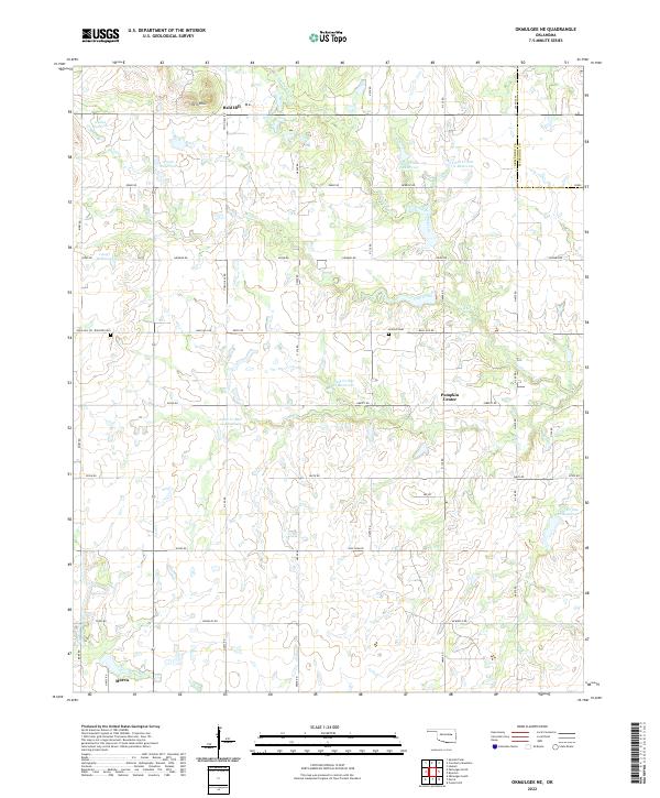
2022 Map of Okmulgee NE
USGS Topo · Published 2022About this map
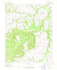
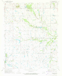
The Bald Hill region north of Morris is characterized by a landscape of small agricultural reservoirs and drainage creeks feeding the Deep Fork watershed. This 2022 survey documents a rural environment where older landmarks like Twin Hills and Bald Hill Cem persist alongside contemporary water management features, including Cane Cr Site 14 Reservoir and Cane Cr Site 9 Reservoir. The boundary between Okmulgee Co and Muskogee Co runs along the eastern edge, passing through the quiet crossroads at Pumpkin Center. Settlement remains clustered around historical township lines and a network of section-line roads, with Coal Creek and Little Cane Creek carving subtle drainages through the territory. Researchers will find a mix of family-named landmarks and organized rural infrastructure that defines the modern character of this Oklahoma prairie landscape.
Find a feature on this map
58 named features on this map. Tap any name to fly to it.
Don’t see what you’re looking for? This feature index may not catch every label — zoom into the map to look around manually.
Map Details
Editions of this 2022 Okmulgee NE Map
This is the sole edition of this map. No revisions or reprints were ever made.
Other maps of this area

1896 · Okmulgee
USGS Topo · 1:125,000

1900 · Okmulgee
USGS Topo · 1:125,000

1946 · Fort Smith
USGS Topo · 1:250,000

1965 · Fort Smith
USGS Topo · 1:250,000

1967 · Fort Smith
USGS Topo · 1:250,000
1970 · Council Hill
USGS Topo · 1:24,000
1970 · Morris
USGS Topo · 1:24,000
1971 · Okmulgee South
USGS Topo · 1:24,000
1971 · Spanish Peak
USGS Topo · 1:24,000
1971 · Okmulgee NE
USGS Topo · 1:24,000