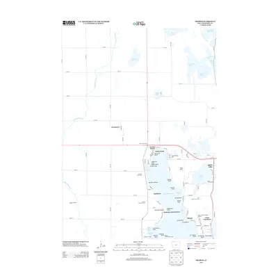
2013 Map of Okoboji
USGS Topo · Published 2013About this map
West Okoboji Lake and Spirit Lake define this detailed 2013 survey of Iowa's premier glacial lake region. The map reveals a densely settled shoreline comprised of numerous distinct beach communities, including Triboji Beach, Manhattan Beach, and Egralharve Beach. This settlement pattern illustrates a long-standing tradition of seasonal and permanent lakeside living, further emphasized by the presence of several institutional retreats such as the United Methodist Camp, Presbyterian Camp, and the Okoboji Lutheran Bible Camp.
Find a feature on this map
104 named features on this map. Tap any name to fly to it.
Don’t see what you’re looking for? This feature index may not catch every label — zoom into the map to look around manually.
Map Details
Editions of this 2013 Okoboji Map
This is the sole edition of this map. No revisions or reprints were ever made.
Other maps of this area

1954 · Fairmont
USGS Topo · 1:250,000

1958 · Fairmont
USGS Topo · 1:250,000

1960 · Sioux Valley
USGS Topo · 1:24,000

1970 · Milford
USGS Topo · 1:24,000

1970 · Lakefield SW
USGS Topo · 1:24,000

1970 · Okoboji
USGS Topo · 1:24,000

1970 · Lakefield SE
USGS Topo · 1:24,000

1970 · Spirit Lake SE
USGS Topo · 1:24,000

1970 · Lake Park SE
USGS Topo · 1:24,000

1970 · Spirit Lake
USGS Topo · 1:24,000