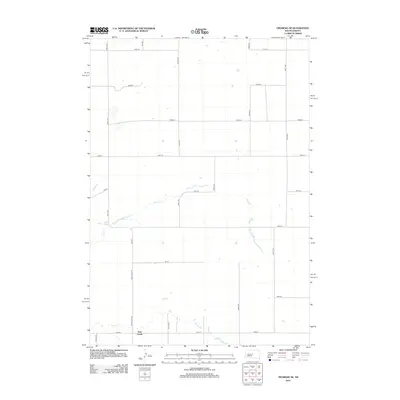
2012 Map of Okobojo SE
USGS Topo · Published 2012About this map
Gray Goose stands as a primary settlement point in this Hughes County landscape, situated where the open prairie is bisected by the winding courses of Cow Cr and Spring Cr. The 2012 survey illustrates a transition from traditional section-line farming to rural residential developments, particularly evidenced by the naming of smaller thoroughfares like Jes Pl alongside established routes such as Grey Goose Rd. The land is organized by a precise grid of rural roads, including 191st St and 288th Ave, which connect the scattered agricultural homesteads. Small intermittent water bodies and drainage basins are peppered across the higher elevations, suggesting the importance of local water management in this high plains environment.
Find a feature on this map
21 named features on this map. Tap any name to fly to it.
Don’t see what you’re looking for? This feature index may not catch every label — zoom into the map to look around manually.
Map Details
Editions of this 2012 Okobojo SE Map
This is the sole edition of this map. No revisions or reprints were ever made.
Other maps of this area

1924 · Pierre
USGS Topo · 1:62,500

1934 · Canning
USGS Topo · 1:48,000

1937 · Canning
USGS Topo · 1:62,500

1954 · Pierre
USGS Topo · 1:250,000

1958 · Pierre
USGS Topo · 1:250,000

1965 · Okobojo NE
USGS Topo · 1:24,000

1965 · Okobojo
USGS Topo · 1:24,000

1965 · Sully Lake
USGS Topo · 1:24,000

1967 · Pierre NE
USGS Topo · 1:24,000

1967 · Onida SW
USGS Topo · 1:24,000