
1965 Map of Okobojo
USGS Topo · Published 1966About this map
Sully Buttes rise above the central plains of South Dakota in this mid-1960s survey of the Missouri River Basin. The landscape is defined by the significant hydrological engineering of the era, notably the vast Oahe Reservoir at its regulated pool level. The settlement of Okobojo sits near the winding course of Okobojo Creek, which feeds into Lake Okobojo. The map captures a rural economy marked by scattered Gravel Pits and the presence of a Flowing Well, indicating the importance of local resource extraction and water management in this high-plains environment. This edition reflects the area's geography shortly after the damming of the Missouri River altered the regional drainage patterns.
Find a feature on this map
11 named features on this map. Tap any name to fly to it.
Don’t see what you’re looking for? This feature index may not catch every label — zoom into the map to look around manually.
Map Details
Editions of this 1965 Okobojo Map
This is the sole edition of this map. No revisions or reprints were ever made.
Other maps of this area

1954 · Pierre
USGS Topo · 1:250,000

1958 · Pierre
USGS Topo · 1:250,000

1965 · Artichoke Butte
USGS Topo · 1:24,000

1965 · Okobojo NE
USGS Topo · 1:24,000

1965 · Artichoke Butte SW
USGS Topo · 1:24,000
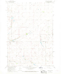
1967 · Okobojo SE
USGS Topo · 1:24,000

1969 · No Heart Creek SE
USGS Topo · 1:24,000
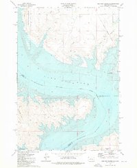
1973 · Iron Post Buttes SE
USGS Topo · 1:24,000
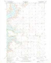
1973 · Okobojo SW
USGS Topo · 1:24,000
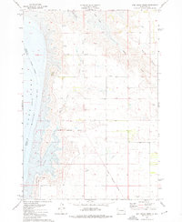
1973 · Mail Shack Creek
USGS Topo · 1:24,000