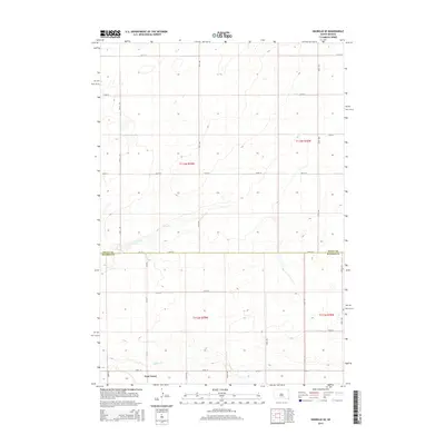
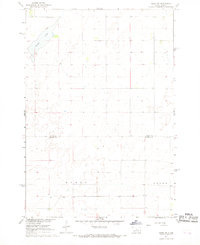
2015 Map of Okobojo SE
USGS Topo · Published 2015About this map
Gray Goose sits in the southern portion of this South Dakota landscape, providing a primary point of reference in an area defined by wide agricultural sections and intermittent waterways. The terrain is divided by the significant boundary between Sully Co and Hughes Co, marking the transition between township ranges t113n r79w and t112n r79w. Water drainage across the prairie is traced by the winding paths of Cow Creek and Spring Cr, which cut through the otherwise uniform grid of section roads. The road network, including routes like 288th Ave and 194th St, illustrates the systematic land division characteristic of the Great Plains, where transportation follows strict section lines established by early surveying efforts.
Find a feature on this map
25 named features on this map. Tap any name to fly to it.
Don’t see what you’re looking for? This feature index may not catch every label — zoom into the map to look around manually.
Map Details
Editions of this 2015 Okobojo SE Map
This is the sole edition of this map. No revisions or reprints were ever made.
Other maps of this area
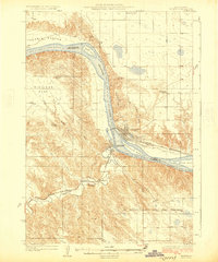
1924 · Pierre
USGS Topo · 1:62,500
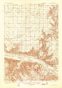
1934 · Canning
USGS Topo · 1:48,000
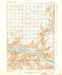
1937 · Canning
USGS Topo · 1:62,500

1954 · Pierre
USGS Topo · 1:250,000

1958 · Pierre
USGS Topo · 1:250,000
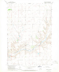
1965 · Okobojo NE
USGS Topo · 1:24,000
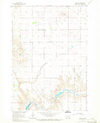
1965 · Okobojo
USGS Topo · 1:24,000
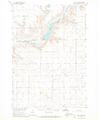
1965 · Sully Lake
USGS Topo · 1:24,000
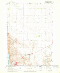
1967 · Pierre NE
USGS Topo · 1:24,000
1967 · Onida SW
USGS Topo · 1:24,000