
2017 Map of Okobojo SE
USGS Topo · Published 2017About this map
Gray Goose sits as a quiet landmark in this prairie landscape, located just south of the border where Sully Co meets Hughes Co. The terrain is defined by the subtle drainage patterns of Cow Creek and Spring Cr, which cut through the agricultural grid in the central and southern portions of the quadrangle. The map reflects a modern rural infrastructure with a strictly defined grid of county roads and avenues, such as Co Rd 207 and 290th Ave, providing access to the vast open sections of the Missouri River plateau. The numerous small, scattered wetlands across the township lines indicate the seasonally shifting hydrology typical of the High Plains, where water management and transport routes remain central to local life.
Find a feature on this map
26 named features on this map. Tap any name to fly to it.
Don’t see what you’re looking for? This feature index may not catch every label — zoom into the map to look around manually.
Map Details
Editions of this 2017 Okobojo SE Map
This is the sole edition of this map. No revisions or reprints were ever made.
Other maps of this area
1924 · Pierre
USGS Topo · 1:62,500
1934 · Canning
USGS Topo · 1:48,000
1937 · Canning
USGS Topo · 1:62,500

1954 · Pierre
USGS Topo · 1:250,000

1958 · Pierre
USGS Topo · 1:250,000
1965 · Okobojo NE
USGS Topo · 1:24,000
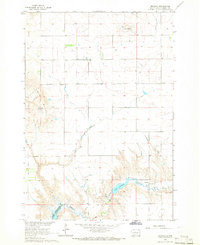
1965 · Okobojo
USGS Topo · 1:24,000
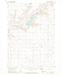
1965 · Sully Lake
USGS Topo · 1:24,000
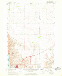
1967 · Pierre NE
USGS Topo · 1:24,000
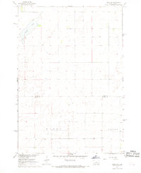
1967 · Onida SW
USGS Topo · 1:24,000