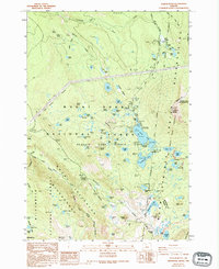
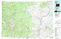
1988 Map of Olallie Butte
USGS Topo · Published 1994About this map
Olallie Butte dominates the high Cascades landscape in this 1980s-era survey, standing at the intersection of the Warm Springs Indian Reservation and several national forest boundaries. The region is defined by its complex hydrology, featuring dozens of named alpine lakes such as Clagett Lake, Fish Lake, and the cluster within the Olallie Lake Scenic Area. This map documents the recreational infrastructure of the late 20th century, including the Pacific Crest National Scenic Trail as it winds through the Mount Hood National Forest and Willamette National Forest. Geologic and geographic markers provide significant detail for researchers, from the Breitenbush Cascades Viewpoint to the headwaters of the Clackamas River. A high density of established sites like Paul Dennis Campground and Camp Ten Campground illustrate the area's development as a destination for outdoor travel and land management during this period.
Find a feature on this map
95 named features on this map. Tap any name to fly to it.
Don’t see what you’re looking for? This feature index may not catch every label — zoom into the map to look around manually.
Map Details
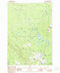
Editions of this 1988 Olallie Butte Map
2 editions found
Other maps of this area

1927 · Mt. Jefferson
USGS Topo · 1:125,000

1930 · Mt. Jefferson
USGS Topo · 1:125,000

1955 · Bend
USGS Topo · 1:250,000

1957 · Bend
USGS Topo · 1:250,000

1958 · Bend
USGS Topo · 1:250,000

1961 · Whitewater River
USGS Topo · 1:62,500

1961 · Fort Butte
USGS Topo · 1:62,500
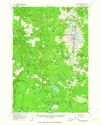
1961 · Mt. Jefferson
USGS Topo · 1:62,500
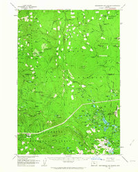
1961 · Breitenbush Hot Springs
USGS Topo · 1:62,500
1983 · Madras
USGS Topo · 1:100,000