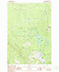
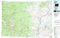
1988 Map of Olallie Butte
USGS Topo · Published 1988About this map
Olallie Butte dominates this high-altitude landscape on the boundary of the Warm Springs Indian Reservation, where the borders of Clackamas, Jefferson, and Marion counties converge. This 1980s survey reflects a geography defined by historical surveying efforts and recreational infrastructure, notably documenting several early boundary surveys including the McQuinn Line-1887, Trueman Line-1882, and Campbell Line-1909. These lines trace the evolving demarcation of tribal and federal lands through the Cascades.
Find a feature on this map
101 named features on this map. Tap any name to fly to it.
Don’t see what you’re looking for? This feature index may not catch every label — zoom into the map to look around manually.
Map Details
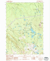
Editions of this 1988 Olallie Butte Map
2 editions found
Other maps of this area

1927 · Mt. Jefferson
USGS Topo · 1:125,000

1930 · Mt. Jefferson
USGS Topo · 1:125,000

1955 · Bend
USGS Topo · 1:250,000

1957 · Bend
USGS Topo · 1:250,000

1958 · Bend
USGS Topo · 1:250,000

1961 · Whitewater River
USGS Topo · 1:62,500

1961 · Fort Butte
USGS Topo · 1:62,500
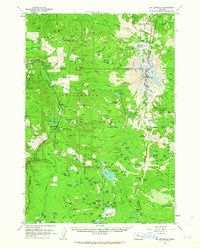
1961 · Mt. Jefferson
USGS Topo · 1:62,500
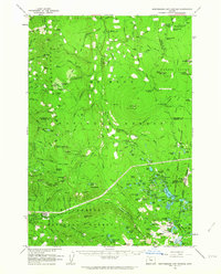
1961 · Breitenbush Hot Springs
USGS Topo · 1:62,500
1983 · Madras
USGS Topo · 1:100,000