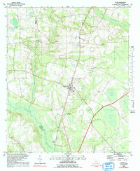
1982 Map of Olar
USGS Topo · Published 1992About this map
Olar sits as a central junction where the Seaboard Coast Line railroad meets regional roadways, serving as a hub for the surrounding agricultural and swamp-edge communities. The landscape is defined by the slow-moving waters of the Salkehatchie River and the Little Salkehatchie River, which create a complex network of wetlands and bays including Alligator Bay, Horsepen Bay, and Cypress Pond. This 1980s-era record documents a rural South Carolina landscape where social life was anchored by numerous country churches and family burial grounds.
Find a feature on this map
34 named features on this map. Tap any name to fly to it.
Don’t see what you’re looking for? This feature index may not catch every label — zoom into the map to look around manually.
Map Details
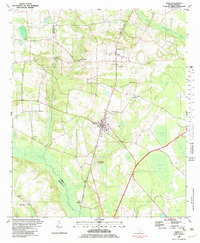
Editions of this 1982 Olar Map
2 editions found
Other maps of this area

1919 · Olar
USGS Topo · 1:62,500

1919 · Bamberg
USGS Topo · 1:48,000

1919 · Allendale
USGS Topo · 1:62,500

1920 · Bamberg
USGS Topo · 1:62,500

1923 · Williston
USGS Topo · 1:48,000

1927 · Williston
USGS Topo · 1:62,500

1943 · Olar
USGS Topo · 1:62,500

1943 · Allendale
USGS Topo · 1:62,500

1943 · Bamberg
USGS Topo · 1:62,500

1943 · Williston
USGS Topo · 1:62,500