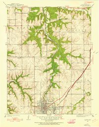
1935 Map of Olathe
USGS Topo · Published 1955About this map
Olathe serves as the focal point for this mid-1930s landscape, where a dense grid of streets meets the crossing of the St Louis and San Francisco and Atchison Topeka and Santa Fe railroads. The map documents a rural society structured around local community centers, notably the Summerfield Grange Hall and a network of district schools such as Shiloh Sch, Prairie Star Sch, and Cherry Lane Sch.
Find a feature on this map
28 named features on this map. Tap any name to fly to it.
Don’t see what you’re looking for? This feature index may not catch every label — zoom into the map to look around manually.
Map Details
Editions of this 1935 Olathe Map
2 editions found
Other maps of this area

1887 · Olathe
USGS Topo · 1:125,000

1890 · Kansas City
USGS Topo · 1:125,000

1893 · Olathe
USGS Topo · 1:125,000

1894 · Kansas City
USGS Topo · 1:125,000

1934 · Bonner Springs
USGS Topo · 1:48,000

1934 · Shawnee
USGS Topo · 1:24,000

1934 · Edwardsville
USGS Topo · 1:24,000

1935 · Olathe
USGS Topo · 1:24,000

1935 · Lenexa
USGS Topo · 1:24,000

1940 · Bonner Springs
USGS Topo · 1:62,500