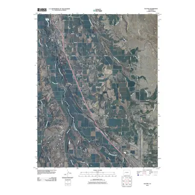
2010 Map of Olathe
USGS Topo · Published 2010About this map
The Uncompahgre River defines the central corridor of this agricultural landscape in Montrose County, where irrigation infrastructure is essential to the valley's development. The town of Olathe sits in the northwest corner, serving as a hub for the surrounding mesas. A sophisticated network of water management features, including the East Canal, Ironstone Canal, and the extensive Selig Canal, provides the lifeblood for farming across High Mesa, East Mesa, and North Mesa. Smaller settlements and stops such as Frost and Roe are situated along the rail and road corridors that parallel the river. The presence of the Montrose Regional Airport in the south and landmarks like the North Mesa Community Hall and Clifford Field illustrate the mix of regional transportation, community life, and local industry during the early 21st century.
Find a feature on this map
42 named features on this map. Tap any name to fly to it.
Don’t see what you’re looking for? This feature index may not catch every label — zoom into the map to look around manually.
Map Details
Editions of this 2010 Olathe Map
This is the sole edition of this map. No revisions or reprints were ever made.
Other maps of this area

1909 · Montrose
USGS Topo · 1:125,000

1911 · Montrose
USGS Topo · 1:125,000

1955 · Olathe NW
USGS Topo · 1:24,000

1955 · Black Ridge
USGS Topo · 1:24,000

1955 · Olathe
USGS Topo · 1:24,000

1955 · Red Rock Canyon
USGS Topo · 1:24,000

1956 · Montrose
USGS Topo · 1:250,000

1956 · Moab
USGS Topo · 1:250,000

1959 · Moab
USGS Topo · 1:250,000

1959 · Montrose
USGS Topo · 1:250,000