
2020 Map of Old Blue
USGS Topo · Published 2020About this map
Old Blue and Rainy Peak command the high ground of this Douglas County drainage system, where the steep terrain dictates a complex network of forest access and ridgeline roads. The landscape is defined by its deep creek valleys, including the drainages of Belshazzar Cr, Lutsinger Cr, and Fitzpatrick Cr. This topographic study reveals how human infrastructure follows the natural contours, with named routes like Carmela Bench Rd and Tyee Access Rd threading through the timbered slopes. Notable landmarks such as Hooker Spr and the Joe Hooker Rd suggest long-standing local naming conventions tied to specific topographical features or early land use. The map provides an intricate view of the watershed divide between numerous small tributaries like Hound Cr and Waggoner Cr, detailing the remote elevations of the Oregon Coast Range.
Find a feature on this map
36 named features on this map. Tap any name to fly to it.
Don’t see what you’re looking for? This feature index may not catch every label — zoom into the map to look around manually.
Map Details
Editions of this 2020 Old Blue Map
This is the sole edition of this map. No revisions or reprints were ever made.
Other maps of this area
1928 · Sitkum
USGS Topo · 1:125,000
1955 · Scottsburg
USGS Topo · 1:62,500
1955 · Ivers Peak
USGS Topo · 1:62,500
1955 · Tyee
USGS Topo · 1:62,500
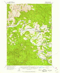
1955 · Elkton
USGS Topo · 1:62,500

1958 · Roseburg
USGS Topo · 1:250,000

1959 · Roseburg
USGS Topo · 1:250,000
1979 · Roseburg
USGS Topo · 1:100,000
1979 · Cottage Grove
USGS Topo · 1:100,000
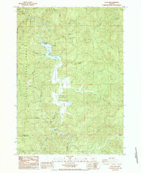
1985 · Loon Lake
USGS Topo · 1:24,000