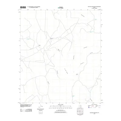
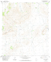
2010 Map of Old Blue Mountain
USGS Topo · Published 2010About this map
Old Blue Mountain anchors this high-desert landscape in Brewster County, where the topography is defined by a network of steep drainage systems and isolated ranching outposts. The terrain is deeply incised by Gilliland Canyon in the north and the converging paths of Spring Canyon, Jail Canyon, and Stump Canyon to the east. These intermittent watercourses reflect the arid climate, where life and livestock historically clustered around established water sources like Frenchman Tank, Christmas Tank, and Hidden Tank.
Find a feature on this map
26 named features on this map. Tap any name to fly to it.
Don’t see what you’re looking for? This feature index may not catch every label — zoom into the map to look around manually.
Map Details
Editions of this 2010 Old Blue Mountain Map
This is the sole edition of this map. No revisions or reprints were ever made.
Other maps of this area
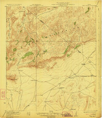
1923 · Hess Canyon
USGS Topo · 1:62,500
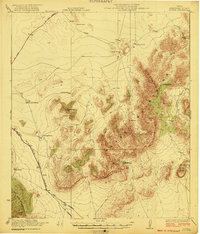
1923 · Altuda
USGS Topo · 1:62,500
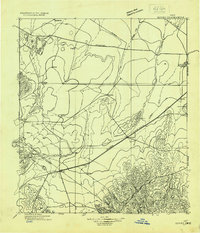
1929 · Hovey
USGS Topo · 1:125,000

1954 · Fort Stockton
USGS Topo · 1:250,000

1958 · Fort Stockton
USGS Topo · 1:250,000
1973 · Fort Stockton
USGS Topo · 1:250,000
1980 · Cave Mesa
USGS Topo · 1:24,000
1980 · Hovey
USGS Topo · 1:24,000
1980 · Hovey SW
USGS Topo · 1:24,000
1983 · Gilliland Peak
USGS Topo · 1:24,000