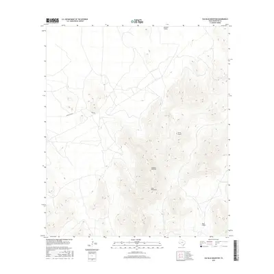
2016 Map of Old Blue Mountain
USGS Topo · Published 2016About this map
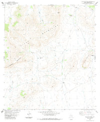
Old Blue Mountain rises as a dominant landmark within the Glass Mountains of Brewster County, where high-desert drainage patterns define the landscape. This 2016 survey highlights the intricate network of canyons that carve through the range, including Gilliland Canyon to the north and Spring Canyon near the center of the quadrangle. The map captures a primarily undeveloped region of West Texas, where local access is limited to unpaved ranch corridors such as Benge Ranch Rd and Benge Rd. To the south, Road Canyon cuts through the high relief, illustrating the isolation and specific topographical challenges of this part of the Trans-Pecos region.
Find a feature on this map
7 named features on this map. Tap any name to fly to it.
Don’t see what you’re looking for? This feature index may not catch every label — zoom into the map to look around manually.
Map Details
Editions of this 2016 Old Blue Mountain Map
This is the sole edition of this map. No revisions or reprints were ever made.
Other maps of this area
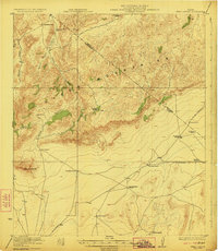
1923 · Hess Canyon
USGS Topo · 1:62,500
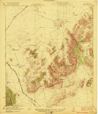
1923 · Altuda
USGS Topo · 1:62,500
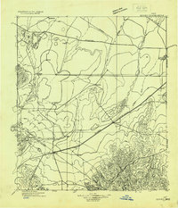
1929 · Hovey
USGS Topo · 1:125,000

1954 · Fort Stockton
USGS Topo · 1:250,000

1958 · Fort Stockton
USGS Topo · 1:250,000
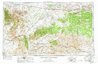
1973 · Fort Stockton
USGS Topo · 1:250,000
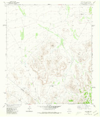
1980 · Cave Mesa
USGS Topo · 1:24,000
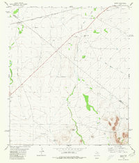
1980 · Hovey
USGS Topo · 1:24,000
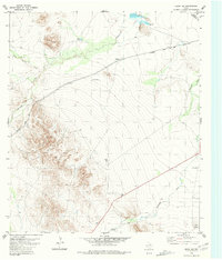
1980 · Hovey SW
USGS Topo · 1:24,000
1983 · Gilliland Peak
USGS Topo · 1:24,000