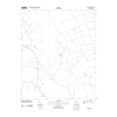
2010 Map of Old Dock
USGS Topo · Published 2010About this map
The Waccamaw River winds through this section of Columbus County, defining a landscape of wetlands and isolated islands. Local history is anchored by family names preserved in sites like Clewis Cemetery, Etheridge Cemetery, and Blackmon Cemetery. The settlement of Riverview sits near the river's edge, while South Old Dock and Honey Field mark small clusters of development further west.
Find a feature on this map
42 named features on this map. Tap any name to fly to it.
Don’t see what you’re looking for? This feature index may not catch every label — zoom into the map to look around manually.
Map Details
Editions of this 2010 Old Dock Map
This is the sole edition of this map. No revisions or reprints were ever made.
Other maps of this area

1942 · Juniper Creek
USGS Topo · 1:24,000

1943 · Pireway
USGS Topo · 1:31,680

1943 · Nakina
USGS Topo · 1:24,000

1943 · Freeland
USGS Topo · 1:24,000

1943 · Exum
USGS Topo · 1:24,000
1953 · Pireway
USGS Topo · 1:24,000

1953 · Florence
USGS Topo · 1:250,000

1954 · Florence
USGS Topo · 1:250,000

1954 · Bolton
USGS Topo · 1:62,500

1955 · Whiteville
USGS Topo · 1:62,500