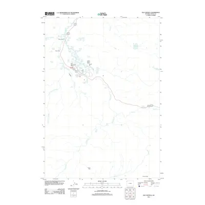
2012 Map of Old Faithful
USGS Topo · Published 2012About this map
Morning Glory Pool and the Sinter Plain characterize this high-elevation geothermal landscape along the Firehole River. In 2012, this survey documents the intricate network of hydrothermal features centered on Biscuit Basin, where concentrated thermal activity is evidenced by labels such as Jewel Geyser, Sapphire Pool, and Silver Globe. The map captures the hydrological complexity of the region, from the dramatic Mystic Falls on the Little Firehole River to the quiet elevation of Mallard Lake. High-altitude transitions are marked by Grants Pass and the Cement Hills, providing a detailed look at the backcountry terrain surrounding these famous thermal basins. The distribution of springs like Punch Bowl Spring and Asta Spring illustrates the persistent volcanic legacy of the Teton County wilderness.
Find a feature on this map
80 named features on this map. Tap any name to fly to it.
Don’t see what you’re looking for? This feature index may not catch every label — zoom into the map to look around manually.
Map Details
Editions of this 2012 Old Faithful Map
This is the sole edition of this map. No revisions or reprints were ever made.
Other maps of this area

1885 · Gallatin
USGS Topo · 1:125,000

1885 · Gallatin
USGS Topo · 1:125,000

1886 · Shoshone
USGS Topo · 1:125,000

1888 · Shoshone
USGS Topo · 1:125,000

1895 · Shoshone
USGS Topo · 1:125,000

1901 · Shoshone
USGS Topo · 1:125,000

1901 · Gallatin
USGS Topo · 1:125,000

1908 · Gallatin
USGS Topo · 1:125,000

1908 · Shoshone
USGS Topo · 1:125,000

1911 · Shoshone
USGS Topo · 1:125,000