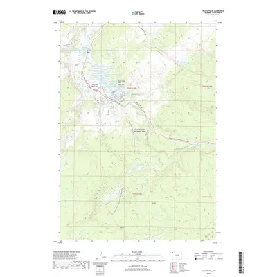
2017 Map of Old Faithful
USGS Topo · Published 2017About this map
Old Faithful Geyser and the dense thermal features of the Upper Geyser Basin anchor this 2017 study of one of the world's most concentrated geothermal areas. The map details the hydrology of the Firehole River as it winds through distinctive clusters like Biscuit Basin, Black Sand Geyser Basin, and Geyser Hill. These areas are defined by specific named landmarks including Morning Glory Pool, Sapphire Pool, and Artemisia Geyser.
Find a feature on this map
54 named features on this map. Tap any name to fly to it.
Don’t see what you’re looking for? This feature index may not catch every label — zoom into the map to look around manually.
Map Details
Editions of this 2017 Old Faithful Map
This is the sole edition of this map. No revisions or reprints were ever made.
Other maps of this area
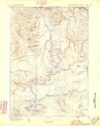
1885 · Gallatin
USGS Topo · 1:125,000
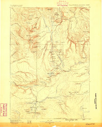
1885 · Gallatin
USGS Topo · 1:125,000
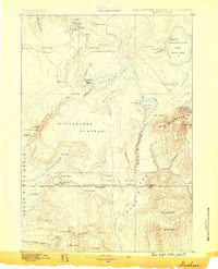
1886 · Shoshone
USGS Topo · 1:125,000
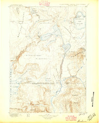
1888 · Shoshone
USGS Topo · 1:125,000
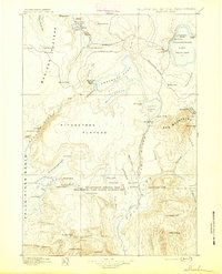
1895 · Shoshone
USGS Topo · 1:125,000
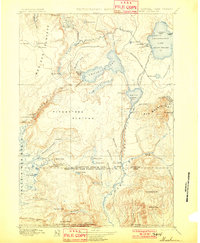
1901 · Shoshone
USGS Topo · 1:125,000
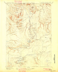
1901 · Gallatin
USGS Topo · 1:125,000
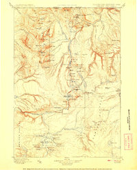
1908 · Gallatin
USGS Topo · 1:125,000
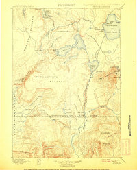
1908 · Shoshone
USGS Topo · 1:125,000
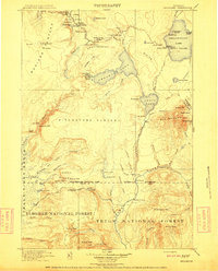
1911 · Shoshone
USGS Topo · 1:125,000