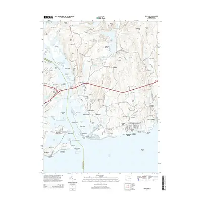
2015 Map of Old Lyme
USGS Topo · Published 2015About this map
Old Lyme and the complex tidal landscape of the Connecticut River estuary define this coastal region during the mid-2010s. The map illustrates a densely settled shoreline where historic village centers meet modern beach communities, such as Sound View and Miami Shores Beach. The influence of the area's maritime and educational heritage is evident in landmarks like the Lyme Acad Coll of Fine Arts and the Raymond E Baldwin Bridge, which spans the river toward Saybrook Point.
Find a feature on this map
218 named features on this map. Tap any name to fly to it.
Don’t see what you’re looking for? This feature index may not catch every label — zoom into the map to look around manually.
Map Details
Editions of this 2015 Old Lyme Map
This is the sole edition of this map. No revisions or reprints were ever made.
Other maps of this area

1892 · New London
USGS Topo · 1:62,500

1893 · New London
USGS Topo · 1:62,500

1893 · Saybrook
USGS Topo · 1:62,500

1903 · Gardiners Island
USGS Topo · 1:62,500

1904 · Gardiners Island
USGS Topo · 1:62,500

1921 · Gardiners Island
USGS Topo · 1:62,500

1921 · New London
USGS Topo · 1:62,500

1934 · Niantic
USGS Topo · 1:24,000

1935 · Montville
USGS Topo · 1:24,000

1938 · Niantic
USGS Topo · 1:62,500