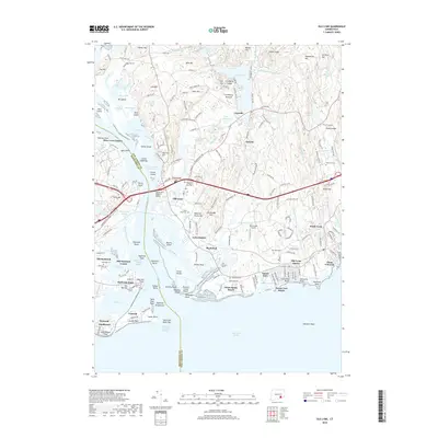
2018 Map of Old Lyme
USGS Topo · Published 2018About this map
The Connecticut River meets Long Island Sound in this detailed survey of the shoreline where Middlesex Co and New London Co converge. The landscape is defined by its maritime geography, featuring numerous islands such as Great Island, Goose Island, and Calves Island, alongside complex estuarine systems like the Lieutenant River and Black River. The transition from the sound to the inland hills is marked by several historic shoreline communities, including Old Lyme, Sound View, and White Sands Beach.
Find a feature on this map
153 named features on this map. Tap any name to fly to it.
Don’t see what you’re looking for? This feature index may not catch every label — zoom into the map to look around manually.
Map Details
Editions of this 2018 Old Lyme Map
This is the sole edition of this map. No revisions or reprints were ever made.
Other maps of this area

1892 · New London
USGS Topo · 1:62,500

1893 · New London
USGS Topo · 1:62,500

1893 · Saybrook
USGS Topo · 1:62,500

1903 · Gardiners Island
USGS Topo · 1:62,500

1904 · Gardiners Island
USGS Topo · 1:62,500

1921 · Gardiners Island
USGS Topo · 1:62,500

1921 · New London
USGS Topo · 1:62,500

1934 · Niantic
USGS Topo · 1:24,000

1935 · Montville
USGS Topo · 1:24,000

1938 · Niantic
USGS Topo · 1:62,500