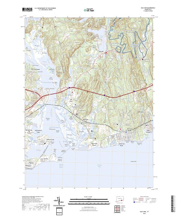
2024 Map of Old Lyme
USGS Topo · Published 2024About this map
Great Island and the complex tidal marshes of the Connecticut River mouth dominate this coastal survey. The transition from the developed riverfront at Saybrook Point to the protected wetlands of the Silvio O-Conte National Fish and Wildlife Refuge highlights the region's balance between maritime heritage and conservation. Inland, the map documents a high concentration of sites for genealogical interest, including the venerable Old Meeting House Hill Burying Ground and Lady Fenwicks Grave near the shore.
Find a feature on this map
213 named features on this map. Tap any name to fly to it.
Don’t see what you’re looking for? This feature index may not catch every label — zoom into the map to look around manually.
Map Details
Editions of this 2024 Old Lyme Map
This is the sole edition of this map. No revisions or reprints were ever made.
Other maps of this area

1892 · New London
USGS Topo · 1:62,500

1893 · New London
USGS Topo · 1:62,500

1893 · Saybrook
USGS Topo · 1:62,500

1903 · Gardiners Island
USGS Topo · 1:62,500

1904 · Gardiners Island
USGS Topo · 1:62,500

1921 · Gardiners Island
USGS Topo · 1:62,500

1921 · New London
USGS Topo · 1:62,500

1934 · Niantic
USGS Topo · 1:24,000

1935 · Montville
USGS Topo · 1:24,000

1938 · Niantic
USGS Topo · 1:62,500