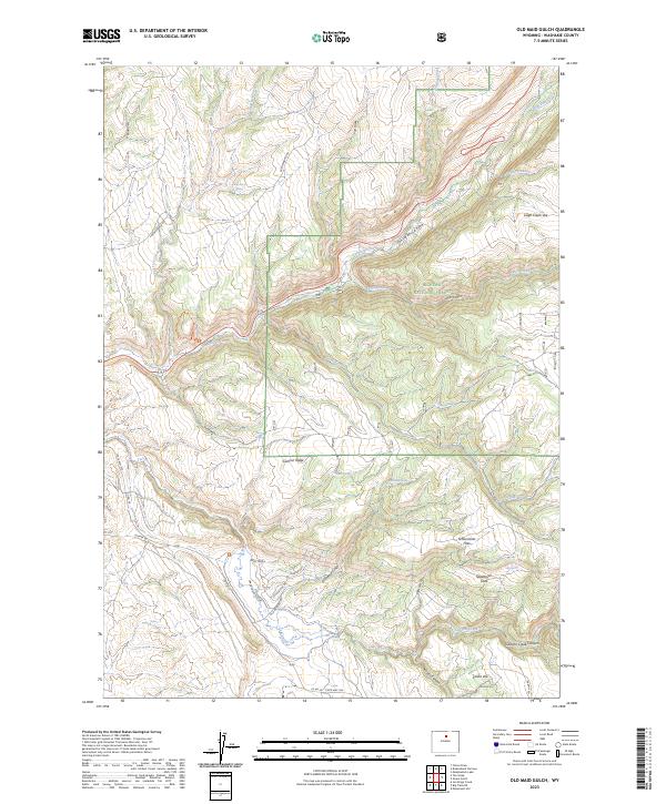
2023 Map of Old Maid Gulch
USGS Topo · Published 2023About this map
Bighorn National Forest dominates this section of the western Big Horn Mountains, where the landscape transitions from high plateau flats into deep, dramatic drainages. The area is defined by the carved paths of Tensleep Creek and Leigh Creek, which flow through their respective canyons toward the west. Modern access is facilitated by Co Rd 56 State Hwy 436, while more remote reaches are marked by old tracks like S Brokenback Rd and Upper Canyon Loop. Significant local landmarks include Schoonover Flats and Sagebrush Flats, which provide level ground above the steep descent into Old Maid Gulch. The presence of numerous water sources, such as Camp Stove Spring and Old Maid Spring, highlights the critical importance of reliable water in this high-elevation environment, supporting both the natural ecosystem and historical land use patterns within the forest boundaries.
Find a feature on this map
43 named features on this map. Tap any name to fly to it.
Don’t see what you’re looking for? This feature index may not catch every label — zoom into the map to look around manually.
Map Details
Editions of this 2023 Old Maid Gulch Map
This is the sole edition of this map. No revisions or reprints were ever made.
Other maps of this area

1899 · Cloud peak
USGS Topo · 1:125,000

1901 · Cloud Peak
USGS Topo · 1:125,000

1955 · Sheridan
USGS Topo · 1:250,000

1955 · Arminto
USGS Topo · 1:250,000

1958 · Sheridan
USGS Topo · 1:250,000

1958 · Arminto
USGS Topo · 1:250,000

1962 · Sheridan
USGS Topo · 1:250,000

1962 · Arminto
USGS Topo · 1:250,000

1966 · Monument Hill
USGS Topo · 1:24,000

1966 · Big Trails NE
USGS Topo · 1:24,000