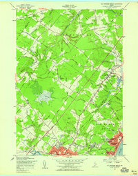
1956 Map of Old Orchard Beach
USGS Topo · Published 1958About this map
Old Orchard Beach serves as a prominent coastal anchor in this mid-century survey, revealing a landscape defined by the intersection of early tourism and established local industry. The shoreline of Saco Bay is densely packed around the Campground Tabernacle and several schools like Jameson Sch, while the Boston And Maine Railroad provides the critical transit link through the heart of the settlement. Inland, the terrain transitions into the expansive wetlands of The Heath and the rising ground of Beech Ridge.
Find a feature on this map
76 named features on this map. Tap any name to fly to it.
Don’t see what you’re looking for? This feature index may not catch every label — zoom into the map to look around manually.
Map Details
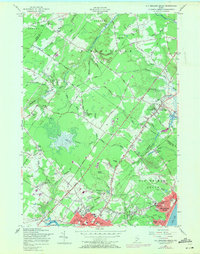
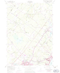
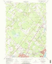
Editions of this 1956 Old Orchard Beach Map
4 editions found
Other maps of this area

1891 · Portland
USGS Topo · 1:62,500

1891 · Biddeford
USGS Topo · 1:62,500

1891 · Kennebunk
USGS Topo · 1:62,500

1891 · Buxton
USGS Topo · 1:62,500

1892 · Buxton
USGS Topo · 1:62,500

1893 · Kennebunk
USGS Topo · 1:62,500

1893 · Biddeford
USGS Topo · 1:62,500

1893 · Portland
USGS Topo · 1:62,500

1893 · Buxton
USGS Topo · 1:62,500

1898 · Kennebunk
USGS Topo · 1:62,500