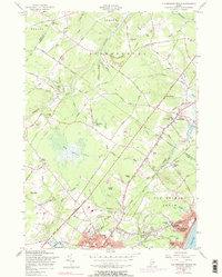
1956 Map of Old Orchard Beach
USGS Topo · Published 1983About this map
The coastal tourism and regional industry of York County are well-defined in this mid-century survey. Old Orchard Beach serves as the focal point, showing the dense development around the Campground Tabernacle and Ocean Park south of the Boston and Maine Railroad. Further inland, the landscape transitions from the developed streets of Saco and the Thornton Academy campus to the more open marshes and woods of The Heath and Foxwell.
Find a feature on this map
92 named features on this map. Tap any name to fly to it.
Don’t see what you’re looking for? This feature index may not catch every label — zoom into the map to look around manually.
Map Details
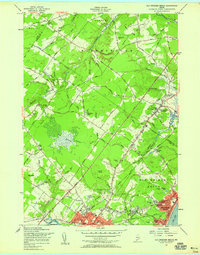
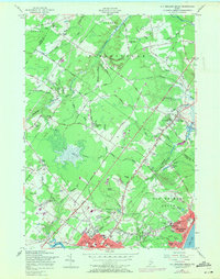
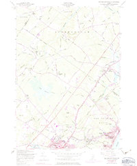
Editions of this 1956 Old Orchard Beach Map
4 editions found
Other maps of this area

1891 · Portland
USGS Topo · 1:62,500

1891 · Biddeford
USGS Topo · 1:62,500

1891 · Kennebunk
USGS Topo · 1:62,500

1891 · Buxton
USGS Topo · 1:62,500

1892 · Buxton
USGS Topo · 1:62,500

1893 · Kennebunk
USGS Topo · 1:62,500

1893 · Biddeford
USGS Topo · 1:62,500

1893 · Portland
USGS Topo · 1:62,500

1893 · Buxton
USGS Topo · 1:62,500

1898 · Kennebunk
USGS Topo · 1:62,500