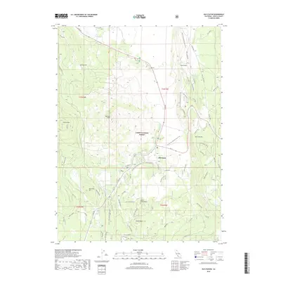
2018 Map of Old Station
USGS Topo · Published 2018About this map
Lassen National Forest covers much of this landscape in eastern Shasta County, defined by its complex volcanic topography and modern recreation infrastructure. The settlement of Old Station serves as a central hub, situated near the intersection of Ca 44 and Ca 89. The area's volcanic origins are evident in features like Potato Butte, Little Potato Butte, and the prominent Hat Creek Rim, while water management is represented by Plum Valley Reservoir and the course of Hat Creek. Several campgrounds, including Bridge CG, Cave CG, and Hat Creek CG, are clustered near the highway corridors. The Pacific Crest National Scenic Trail winds through the eastern half of the map, tracing the high ground of the rim and offering a clear picture of the region's importance for long-distance hiking and outdoor transit.
Find a feature on this map
47 named features on this map. Tap any name to fly to it.
Don’t see what you’re looking for? This feature index may not catch every label — zoom into the map to look around manually.
Map Details
Editions of this 2018 Old Station Map
This is the sole edition of this map. No revisions or reprints were ever made.
Other maps of this area
1886 · Lassen Peak
USGS Topo · 1:250,000
1892 · Lassen Peak
USGS Topo · 1:250,000
1894 · Lassen Peak
USGS Topo · 1:250,000
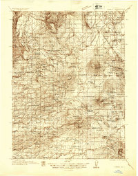
1935 · Burney
USGS Topo · 1:96,000
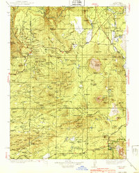
1939 · Burney
USGS Topo · 1:125,000
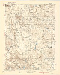
1939 · Halls Flat
USGS Topo · 1:125,000
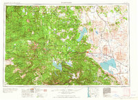
1955 · Westwood
USGS Topo · 1:250,000
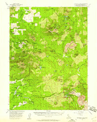
1956 · Manzanita Lake
USGS Topo · 1:62,500
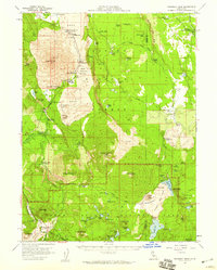
1957 · Prospect Peak
USGS Topo · 1:62,500
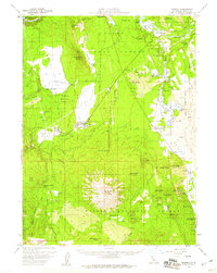
1957 · Burney
USGS Topo · 1:62,500