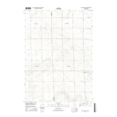
2015 Map of Old Stickney Lake
USGS Topo · Published 2015About this map
Stickney Lake and its neighboring basin, Old Stickney Lake, define the northern landscape of this South Dakota quadrangle, where the boundary between Aurora and Davison counties bisects a grid of section lines and rural roads. The area is characterized by a sparse, organized settlement pattern typical of the eastern Great Plains, centered around the small community of Metzgerville. Genealogy and local history are anchored here by landmarks like Union Cem and Nicolaisen Cem, which sit among the agricultural parcels. To the south, the terrain is shaped by the winding path of Twelvemile Cr, providing a natural contrast to the rigid geometry of thoroughfares such as 265th St and 397th Ave.
Find a feature on this map
25 named features on this map. Tap any name to fly to it.
Don’t see what you’re looking for? This feature index may not catch every label — zoom into the map to look around manually.
Map Details
Editions of this 2015 Old Stickney Lake Map
This is the sole edition of this map. No revisions or reprints were ever made.
Other maps of this area
1899 · Mitchell
USGS Topo · 1:125,000
1955 · Mitchell
USGS Topo · 1:250,000
1959 · Mitchell
USGS Topo · 1:250,000
1979 · Hillside
USGS Topo · 1:24,000
1980 · Stickney
USGS Topo · 1:24,000
1980 · Corsica Lake
USGS Topo · 1:24,000
1980 · Old Stickney Lake
USGS Topo · 1:24,000
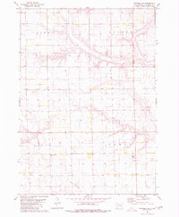
1980 · Mitchell SW
USGS Topo · 1:24,000
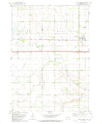
1980 · Mount Vernon
USGS Topo · 1:24,000
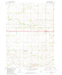
1980 · Betts
USGS Topo · 1:24,000