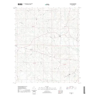
2018 Map of Old Town
USGS Topo · Published 2018About this map
The Sepulga River meanders through this portion of Conecuh County, serving as a focal point for the rural landscape and historical crossings like Travis Bridge. The settlement of Old Town sits at a crossroads in the western section of the map, while Mount Union occupies the southeastern corner. This area is characterized by its network of creeks, including Old Town Cr, Simmons Creek, and Mcneil-Mill Cr, which drain the undulating terrain.
Find a feature on this map
64 named features on this map. Tap any name to fly to it.
Don’t see what you’re looking for? This feature index may not catch every label — zoom into the map to look around manually.
Map Details
Editions of this 2018 Old Town Map
This is the sole edition of this map. No revisions or reprints were ever made.
Other maps of this area

1953 · Andalusia
USGS Topo · 1:250,000

1957 · Andalusia
USGS Topo · 1:250,000

1971 · Lyeffion
USGS Topo · 1:24,000

1971 · Brooks
USGS Topo · 1:24,000

1971 · Mc Kenzie
USGS Topo · 1:24,000

1971 · Loango
USGS Topo · 1:24,000

1971 · Garland
USGS Topo · 1:24,000

1982 · Evergreen
USGS Topo · 1:24,000

1982 · Nymph
USGS Topo · 1:24,000

1982 · Old Town
USGS Topo · 1:24,000