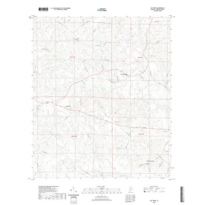
2020 Map of Old Town
USGS Topo · Published 2020About this map
Old Town sits at the heart of this coastal plain landscape where the Sepulga River and Conecuh River define the local drainage patterns. The topography is characterized by intricate dendritic stream networks, including Old Town Cr and Simmons Creek, which create a series of low ridges and valleys across southern Alabama. For those tracing local families, the map preserves the locations of several burial grounds, such as Hall Cem, Herbert Cem, and Jones Chapel Cem, often situated near early roads like Jones Chapel Rd and King Cemetery Rd. Settlement is dispersed, with clusters at Travis Bridge and Mount Union, reflecting a traditional rural organization tied to water crossings and small community centers. The road network, including Co Hwy 35 and Co Hwy 63, follows the natural contours of the land, connecting these quiet hamlets through the pine-dominated terrain.
Find a feature on this map
64 named features on this map. Tap any name to fly to it.
Don’t see what you’re looking for? This feature index may not catch every label — zoom into the map to look around manually.
Map Details
Editions of this 2020 Old Town Map
This is the sole edition of this map. No revisions or reprints were ever made.
Other maps of this area

1953 · Andalusia
USGS Topo · 1:250,000

1957 · Andalusia
USGS Topo · 1:250,000

1971 · Lyeffion
USGS Topo · 1:24,000

1971 · Brooks
USGS Topo · 1:24,000

1971 · Mc Kenzie
USGS Topo · 1:24,000

1971 · Loango
USGS Topo · 1:24,000

1971 · Garland
USGS Topo · 1:24,000

1982 · Evergreen
USGS Topo · 1:24,000

1982 · Nymph
USGS Topo · 1:24,000

1982 · Old Town
USGS Topo · 1:24,000