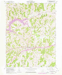
1962 Map of Old Washington
USGS Topo · Published 1978About this map
The village of Old Washington serves as the focal point of this Guernsey County survey, showcasing the landscape as it appeared in the early 1960s with updates through the late 1970s. The town's layout and surrounding rural infrastructure, including the nearby Fairground and local schools like Madison High Sch, reflect the established community life of eastern Ohio. To the north, the creation of Salt Fork Lake and the Salt Fork Wildlife Area highlight a significant shift toward conservation and recreation, altering the natural drainage patterns of Salt Fork and Brushy Fork.
Find a feature on this map
27 named features on this map. Tap any name to fly to it.
Don’t see what you’re looking for? This feature index may not catch every label — zoom into the map to look around manually.
Map Details
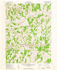
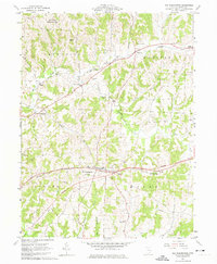
Editions of this 1962 Old Washington Map
3 editions found
Other maps of this area

1909 · Antrim
USGS Topo · 1:48,000

1909 · Summerfield
USGS Topo · 1:62,500

1909 · Cambridge
USGS Topo · 1:62,500

1911 · Antrim
USGS Topo · 1:62,500

1911 · Cumberland
USGS Topo · 1:62,500

1911 · Summerfield
USGS Topo · 1:62,500

1912 · Cambridge
USGS Topo · 1:62,500

1949 · Clarksburg
USGS Topo · 1:250,000

1951 · Canton
USGS Topo · 1:250,000

1953 · Canton
USGS Topo · 1:250,000