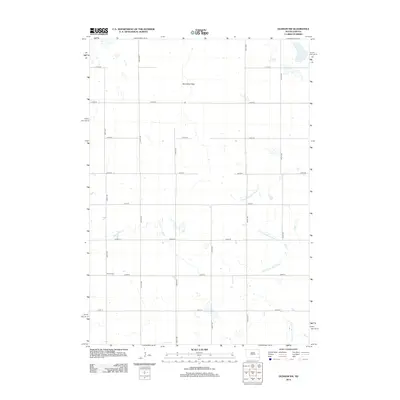
2012 Map of Oldham NW
USGS Topo · Published 2012About this map
Berton Cem serves as a small, grounded focal point for genealogy in this portion of South Dakota. The landscape is defined by the E Fork Vermillion River, which meanders across the eastern half of the map, and the wide, open expanse of Vermillion Flats to the north. A rigid grid of section-line roads, such as 223rd St and 438th Ave, organizes the agricultural terrain into precise geometric blocks. This 2012 survey illustrates the enduring nature of the Midwestern township system, where the infrastructure of rural life is primarily dictated by these long-established corridors and the natural drainage patterns of the river fork.
Find a feature on this map
17 named features on this map. Tap any name to fly to it.
Don’t see what you’re looking for? This feature index may not catch every label — zoom into the map to look around manually.
Map Details
Editions of this 2012 Oldham NW Map
This is the sole edition of this map. No revisions or reprints were ever made.
Other maps of this area

1899 · De Smet
USGS Topo · 1:125,000

1953 · Watertown
USGS Topo · 1:250,000

1958 · Watertown
USGS Topo · 1:250,000

1968 · Oldham SW
USGS Topo · 1:24,000

1968 · Lake Preston East
USGS Topo · 1:24,000

1968 · Lake Preston West
USGS Topo · 1:24,000

1968 · Oldham NW
USGS Topo · 1:24,000

1968 · Oldham
USGS Topo · 1:24,000

1968 · Oldham SE
USGS Topo · 1:24,000

1971 · Howard NE
USGS Topo · 1:24,000