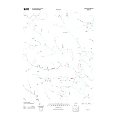
2013 Map of Oldtown
USGS Topo · Published 2013About this map
Warnock PO serves as a central anchor in this corner of Greenup County, where the landscape is defined by the winding paths of Tygarts Cr and the Little Sandy River. The map reveals a deeply etched topography of hollows and ridges, many bearing family names that speak to generations of local settlement, such as Darbey Hollow, Meadows Hollow, and Ash Hollow. This complex drainage network is further evidenced by the numerous named branches like Warnock Br and Buffalo Br.
Find a feature on this map
132 named features on this map. Tap any name to fly to it.
Don’t see what you’re looking for? This feature index may not catch every label — zoom into the map to look around manually.
Map Details
Editions of this 2013 Oldtown Map
This is the sole edition of this map. No revisions or reprints were ever made.
Other maps of this area

1903 · Kenova
USGS Topo · 1:125,000

1904 · Kenova
USGS Topo · 1:125,000

1915 · Garrison
USGS Topo · 1:62,500

1918 · Garrison
USGS Topo · 1:62,500

1926 · Greenup
USGS Topo · 1:48,000

1930 · Greenup
USGS Topo · 1:62,500

1949 · Brushart
USGS Topo · 1:24,000

1950 · Brushart
USGS Topo · 1:24,000

1950 · Grahn
USGS Topo · 1:24,000

1950 · Tygarts Valley
USGS Topo · 1:24,000