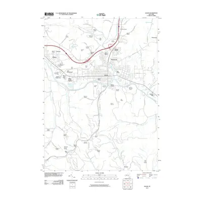
2010 Map of Olean
USGS Topo · Published 2010About this map
Olean sits at the heart of this Southern Tier landscape, where the Allegheny River meets the waters of Olean Creek. The 2010 geography reveals a dense urban corridor stretching from Allegany through North Olean and East Olean, anchored by the sprawling campus of Saint Bonaventure University and the Village of Saint Anthony. The map details the complex industrial and transit infrastructure of the era, including the North Olean Yards and South Olean Yards, alongside local landmarks like the Olean Raceway. To the south, the terrain rises sharply toward Hartzfelt Mountain and Moore Ridge, featuring the geological curiosities of Rock City and the Rock City Natural Bridge. This juxtaposition of river-valley industry and upland ridges highlights the region's enduring character as a transportation and educational hub.
Find a feature on this map
100 named features on this map. Tap any name to fly to it.
Don’t see what you’re looking for? This feature index may not catch every label — zoom into the map to look around manually.
Map Details
Editions of this 2010 Olean Map
This is the sole edition of this map. No revisions or reprints were ever made.
Other maps of this area

1898 · Olean
USGS Topo · 1:62,500

1900 · Salamanca
USGS Topo · 1:62,500

1924 · Bradford
USGS Topo · 1:62,500

1926 · Bradford
USGS Topo · 1:62,500

1933 · Smethport
USGS Topo · 1:62,500

1937 · Smethport
USGS Topo · 1:62,500

1938 · Salamanca
USGS Topo · 1:62,500

1938 · Olean
USGS Topo · 1:62,500

1941 · Bradford
USGS Topo · 1:62,500

1943 · Olean
USGS Topo · 1:62,500