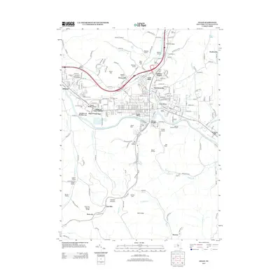
2013 Map of Olean
USGS Topo · Published 2013About this map
Saint Bonaventure University and the surrounding river valley anchor this detailed 2013 survey of the southern Tier. The Allegheny River flows through the heart of the region, separating the urban centers of North Olean and East Olean from the southern heights. The industrial and transportation legacy of the area is evident in the expansive North Olean Yards and South Olean Yards, which reflect the historical importance of rail infrastructure to this manufacturing hub.
Find a feature on this map
224 named features on this map. Tap any name to fly to it.
Don’t see what you’re looking for? This feature index may not catch every label — zoom into the map to look around manually.
Map Details
Editions of this 2013 Olean Map
This is the sole edition of this map. No revisions or reprints were ever made.
Other maps of this area

1898 · Olean
USGS Topo · 1:62,500

1900 · Salamanca
USGS Topo · 1:62,500

1924 · Bradford
USGS Topo · 1:62,500

1926 · Bradford
USGS Topo · 1:62,500

1933 · Smethport
USGS Topo · 1:62,500

1937 · Smethport
USGS Topo · 1:62,500

1938 · Salamanca
USGS Topo · 1:62,500

1938 · Olean
USGS Topo · 1:62,500

1941 · Bradford
USGS Topo · 1:62,500

1943 · Olean
USGS Topo · 1:62,500