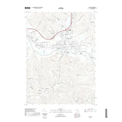
2019 Map of Olean
USGS Topo · Published 2019About this map
The Allegheny River and Olean Creek converge at the city of Olean, defining a landscape where industrial history meets significant academic and religious sites. This 2019 survey captures the modern layout of several distinct neighborhoods, including Boardmanville, South Olean, and Seneca Heights, alongside the sprawling campus of Saint Bonaventure University and the adjacent St. Bonaventure settlement. The river valley acts as a corridor for transportation and commerce, evidenced by the presence of Glermek Executive Airport and proximity to Westons Mills.
Find a feature on this map
172 named features on this map. Tap any name to fly to it.
Don’t see what you’re looking for? This feature index may not catch every label — zoom into the map to look around manually.
Map Details
Editions of this 2019 Olean Map
This is the sole edition of this map. No revisions or reprints were ever made.
Other maps of this area

1898 · Olean
USGS Topo · 1:62,500

1900 · Salamanca
USGS Topo · 1:62,500

1924 · Bradford
USGS Topo · 1:62,500

1926 · Bradford
USGS Topo · 1:62,500

1933 · Smethport
USGS Topo · 1:62,500

1937 · Smethport
USGS Topo · 1:62,500

1938 · Salamanca
USGS Topo · 1:62,500

1938 · Olean
USGS Topo · 1:62,500

1941 · Bradford
USGS Topo · 1:62,500

1943 · Olean
USGS Topo · 1:62,500