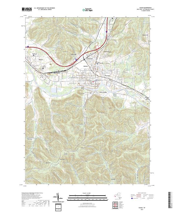
2023 Map of Olean
USGS Topo · Published 2023About this map
The Allegheny River valley forms the industrial and residential heart of this southern New York landscape, where the city of Olean and neighboring Allegany serve as primary hubs. Higher elevations and deeply carved valleys like Hannigan Hollow and Geiger Hollow surround the urban center, creating a stark contrast between the riverfront developments and the wooded uplands of Hartzfelt Mountain. The map details the academic grounds of Saint Bonaventure University and the Saint Bonaventure Church, highlighting the area's long-standing cultural and educational significance.
Find a feature on this map
66 named features on this map. Tap any name to fly to it.
Don’t see what you’re looking for? This feature index may not catch every label — zoom into the map to look around manually.
Map Details
Editions of this 2023 Olean Map
This is the sole edition of this map. No revisions or reprints were ever made.
Other maps of this area

1898 · Olean
USGS Topo · 1:62,500

1900 · Salamanca
USGS Topo · 1:62,500

1924 · Bradford
USGS Topo · 1:62,500

1926 · Bradford
USGS Topo · 1:62,500

1933 · Smethport
USGS Topo · 1:62,500

1937 · Smethport
USGS Topo · 1:62,500

1938 · Salamanca
USGS Topo · 1:62,500

1938 · Olean
USGS Topo · 1:62,500

1941 · Bradford
USGS Topo · 1:62,500

1943 · Olean
USGS Topo · 1:62,500