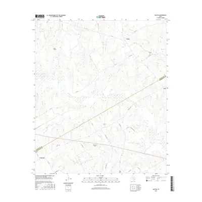
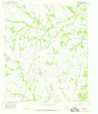
2016 Map of Oletha
USGS Topo · Published 2016About this map
Oletha sits at the northern edge of this landscape, where the rural topography of the Texas interior is defined by a dense network of creek drainages. The Limestone and Robertson County line bisects the area diagonally, separating the settlement of Headsville in the southwest from the smaller crossroads of Seale in the east. Numerous small family or community burial grounds, such as Ferguson Cem and Pace Cem, are scattered across the terrain, offering significant points of interest for genealogists tracing local families. The hydrology is dominated by Steele Cr and its many tributaries like Running Br and Heads Cr, which carve through the countryside near landmarks like Wolf Hollow. This 2016 survey also documents modern infrastructure like the RMR Ranch Airport, contrasting with the traditional rural layout of churches and cemeteries like Wesley Chapel Cem.
Find a feature on this map
51 named features on this map. Tap any name to fly to it.
Don’t see what you’re looking for? This feature index may not catch every label — zoom into the map to look around manually.
Map Details
Editions of this 2016 Oletha Map
This is the sole edition of this map. No revisions or reprints were ever made.
Other maps of this area
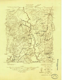
1925 · Marquez No. 1
USGS Topo · 1:48,000
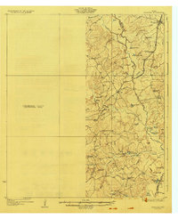
1927 · Marquez
USGS Topo · 1:62,500
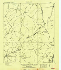
1930 · Marquez
USGS Topo · 1:62,500

1954 · Waco
USGS Topo · 1:250,000

1955 · Waco
USGS Topo · 1:250,000
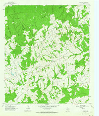
1962 · Petteway
USGS Topo · 1:24,000
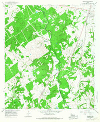
1965 · Marquez
USGS Topo · 1:24,000
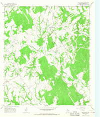
1965 · Bald Prairie
USGS Topo · 1:24,000
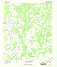
1966 · Round Prairie
USGS Topo · 1:24,000
1966 · Thornton
USGS Topo · 1:24,000