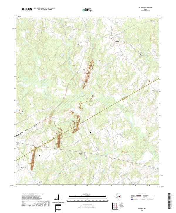
2022 Map of Oletha
USGS Topo · Published 2022This historical map portrays the area of Oletha in 2022, primarily covering Limestone County as well as portions of Robertson County. Featuring a scale of 1:24000, this map provides a highly detailed snapshot of the terrain, roads, buildings, counties, and historical landmarks in the Oletha region at the time. Published in 2022, it is the sole known edition of this map.
Map Details
Editions of this 2022 Oletha Map
This is the sole edition of this map. No revisions or reprints were ever made.
Historical Maps of Headsville Through Time
18 maps found
1957 Prairie Hill
Limestone County, TX
1960 Echols
Limestone County, TX
1966 Ben Hur
Limestone County, TX
1966 Box Church
Limestone County, TX
1966 Fallon
Limestone County, TX
1966 Farrar
Limestone County, TX
1966 Kosse East
Limestone County, TX
1966 Odds
Limestone County, TX
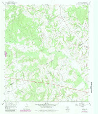
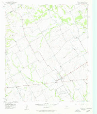
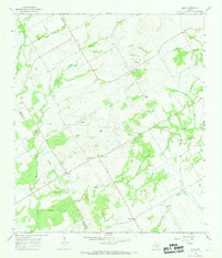
1966 Oletha
Limestone County, TX
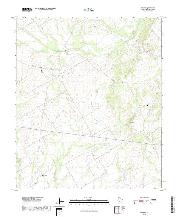
2022 Ben Hur
Limestone County, TX
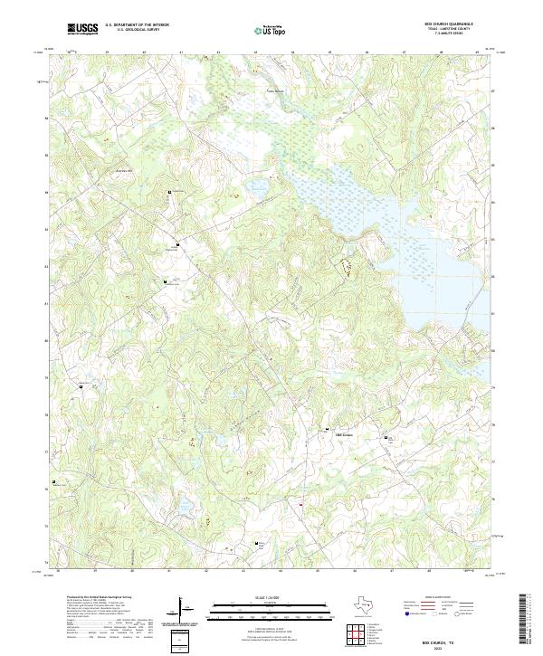
2022 Box Church
Limestone County, TX
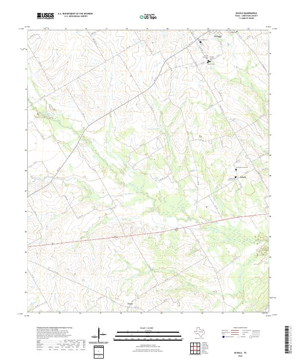
2022 Echols
Limestone County, TX
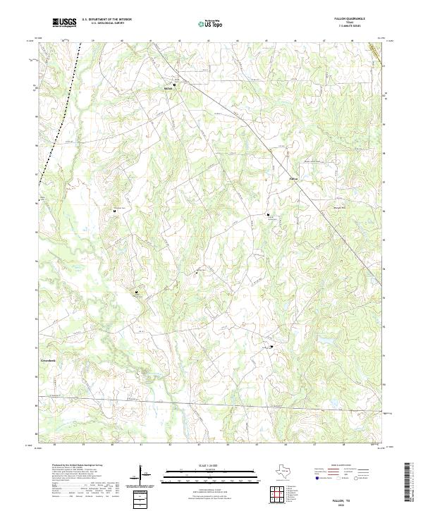
2022 Fallon
Limestone County, TX
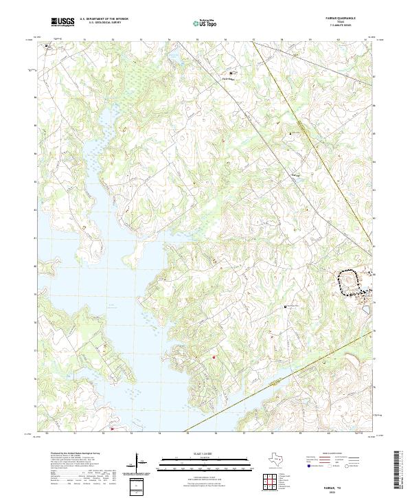
2022 Farrar
Limestone County, TX
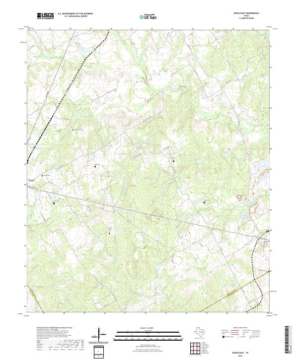
2022 Kosse East
Limestone County, TX
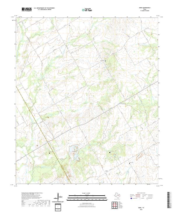
2022 Odds
Limestone County, TX
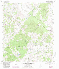
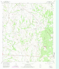
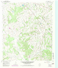
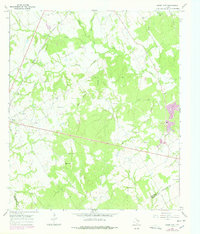
2022 Oletha
Limestone County, TX
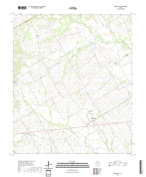
2022 Prairie Hill
Limestone County, TX