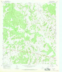
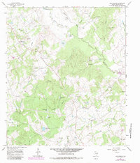
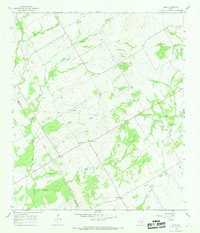
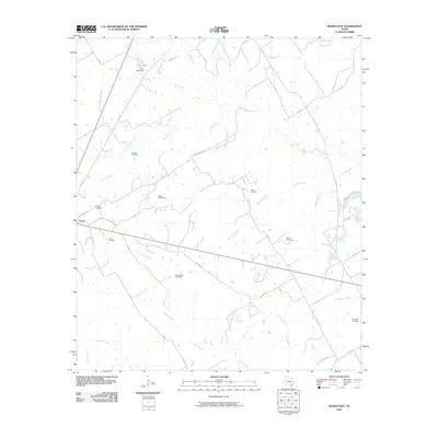
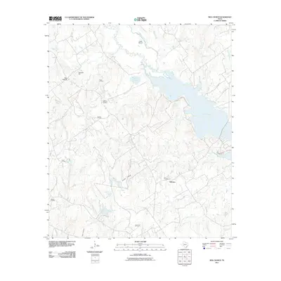
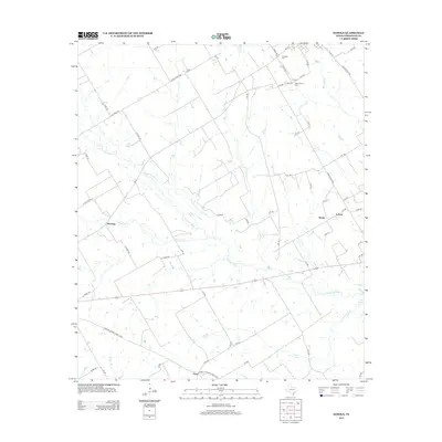
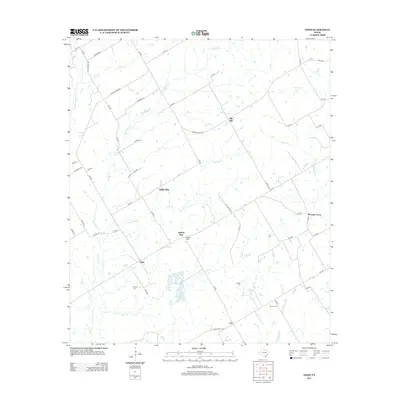
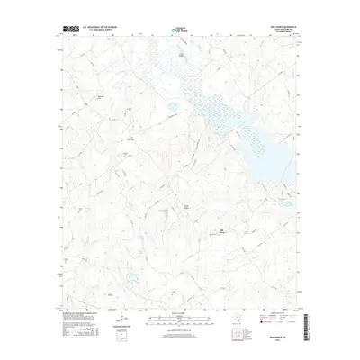
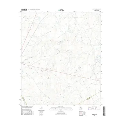
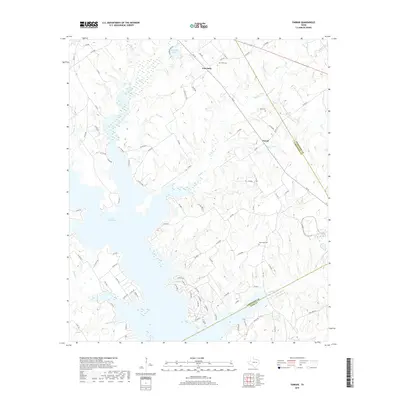
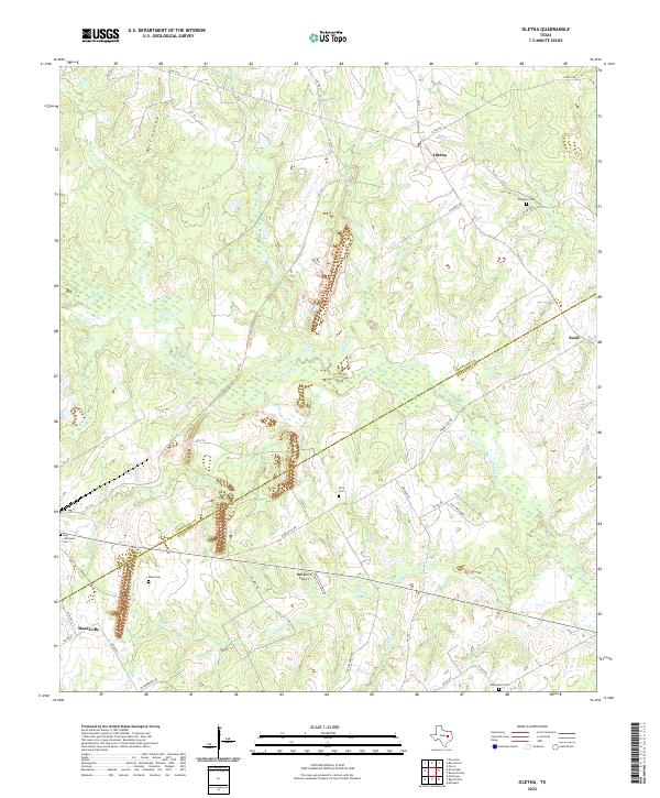
1966 Map of Oletha
USGS Topo · Published 1970About this map
Steele Creek and its numerous tributaries, including Willow Creek and Heads Creek, dominate this central Texas landscape on the border of Limestone and Robertson Counties. The area is characterized by a high density of small family and community cemeteries, such as Ferguson Cem, Head Cem, Ebenezer Cem, and Pace Cem, which serve as vital markers for genealogical research in this rural region.
Find a feature on this map
28 named features on this map. Tap any name to fly to it.
Don’t see what you’re looking for? This feature index may not catch every label — zoom into the map to look around manually.
Map Details
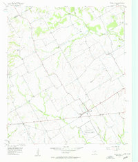
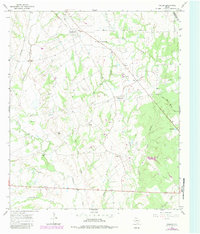
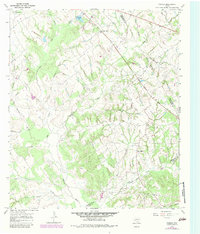
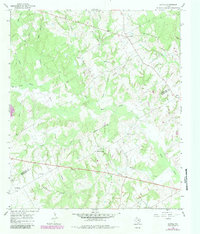
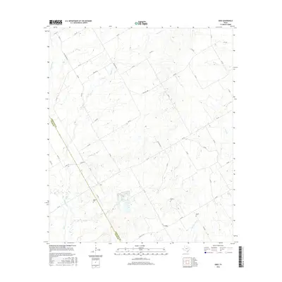
Editions of this 1966 Oletha Map
2 editions found
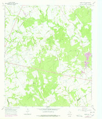
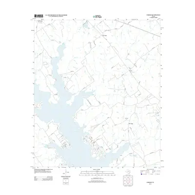
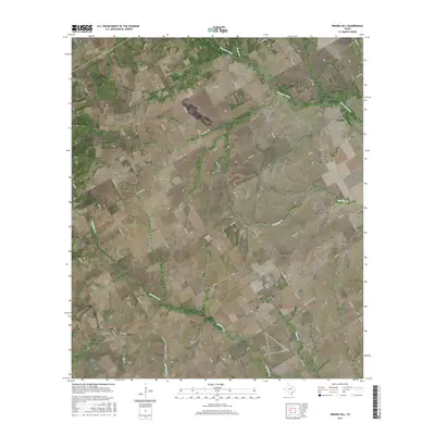
Historical Maps of Headsville Through Time
54 maps found
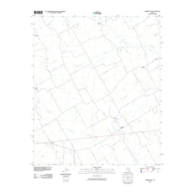
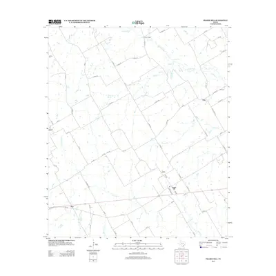
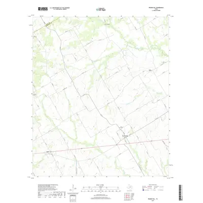
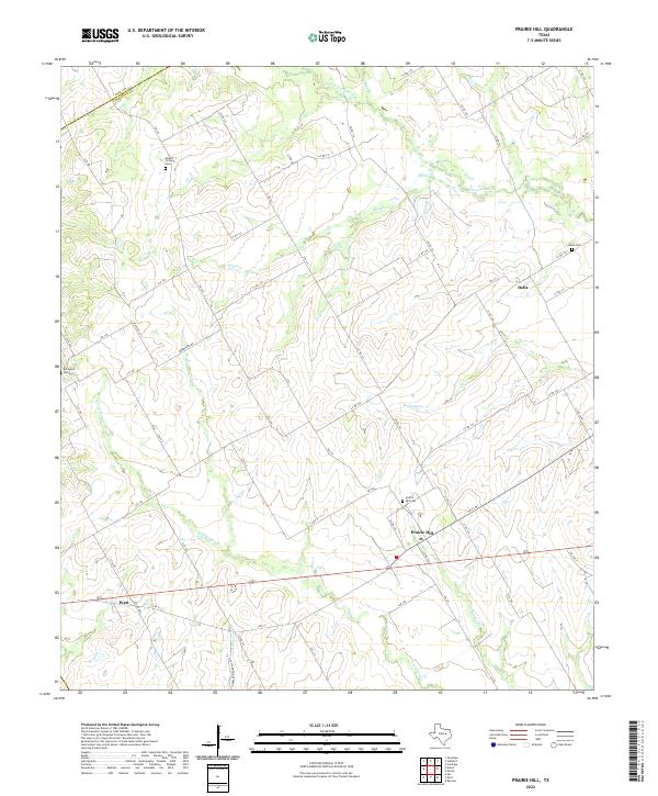
1957 Prairie Hill
Limestone County, TX
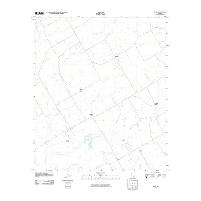
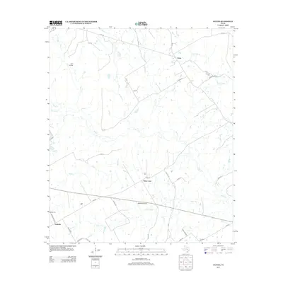
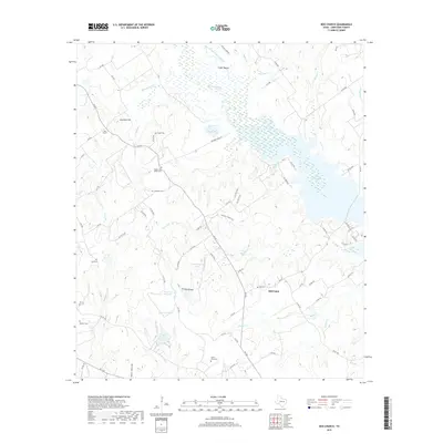
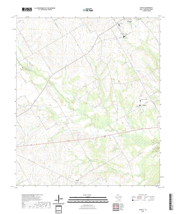
1960 Echols
Limestone County, TX
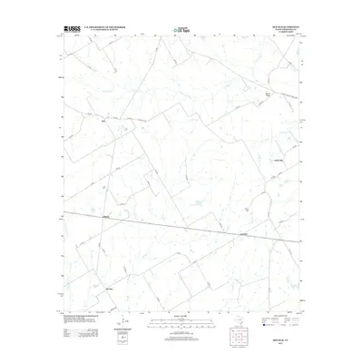
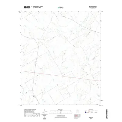
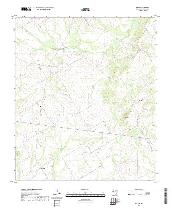
1966 Ben Hur
Limestone County, TX
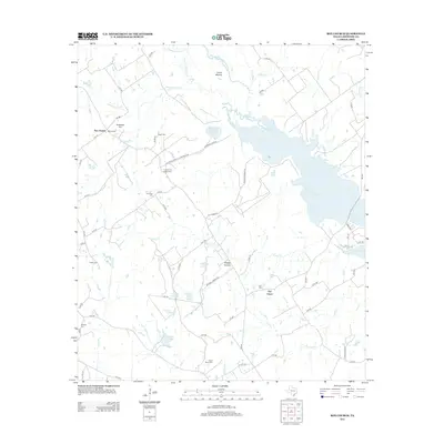
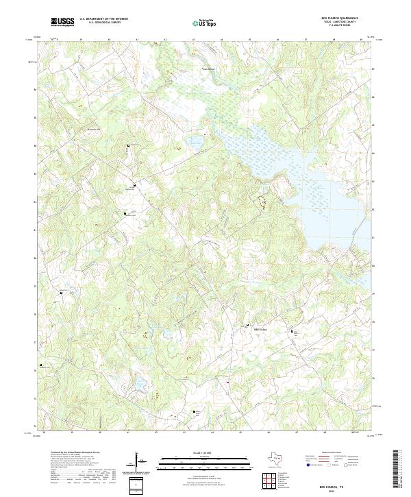
1966 Box Church
Limestone County, TX
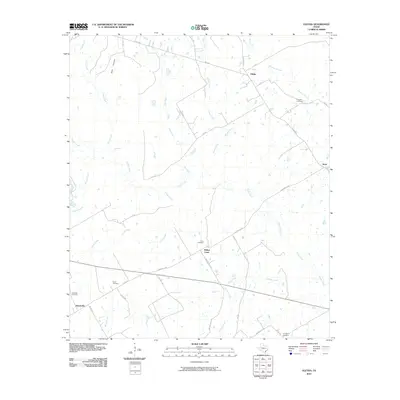
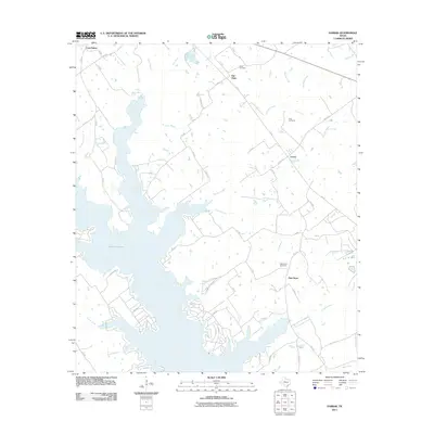
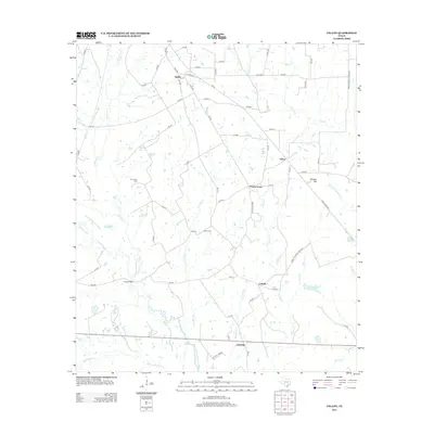
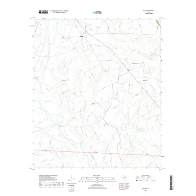
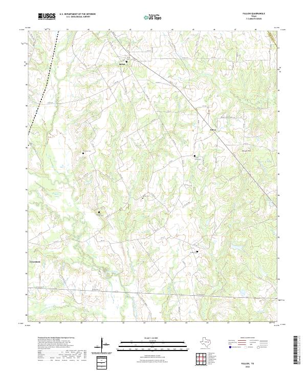
1966 Fallon
Limestone County, TX
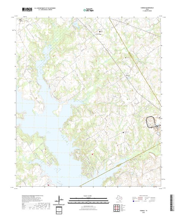
1966 Farrar
Limestone County, TX
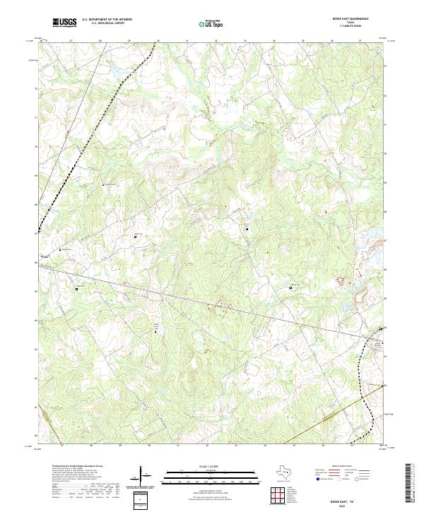
1966 Kosse East
Limestone County, TX
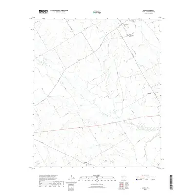
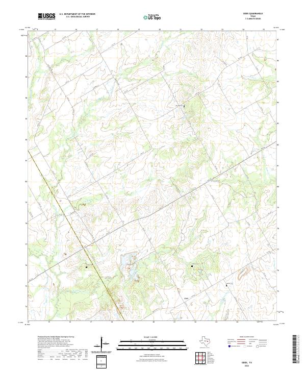
1966 Odds
Limestone County, TX
1966 Oletha
Limestone County, TX

2010 Ben Hur
Limestone County, TX
2010 Echols
Limestone County, TX
2010 Fallon
Limestone County, TX
2010 Kosse East
Limestone County, TX
2010 Odds
Limestone County, TX
2010 Oletha
Limestone County, TX
2010 Prairie Hill
Limestone County, TX
2011 Box Church
Limestone County, TX
2011 Farrar
Limestone County, TX
2013 Ben Hur
Limestone County, TX
2013 Box Church
Limestone County, TX
2013 Echols
Limestone County, TX
2013 Fallon
Limestone County, TX
2013 Farrar
Limestone County, TX
2013 Kosse East
Limestone County, TX
2013 Odds
Limestone County, TX
2013 Oletha
Limestone County, TX
2013 Prairie Hill
Limestone County, TX
2016 Ben Hur
Limestone County, TX
2016 Box Church
Limestone County, TX
2016 Echols
Limestone County, TX
2016 Fallon
Limestone County, TX
2016 Farrar
Limestone County, TX
2016 Kosse East
Limestone County, TX
2016 Odds
Limestone County, TX
2016 Oletha
Limestone County, TX
2016 Prairie Hill
Limestone County, TX
2019 Ben Hur
Limestone County, TX
2019 Box Church
Limestone County, TX
2019 Echols
Limestone County, TX
2019 Fallon
Limestone County, TX
2019 Farrar
Limestone County, TX
2019 Kosse East
Limestone County, TX
2019 Odds
Limestone County, TX
2019 Oletha
Limestone County, TX
2019 Prairie Hill
Limestone County, TX
2022 Ben Hur
Limestone County, TX
2022 Box Church
Limestone County, TX
2022 Echols
Limestone County, TX
2022 Fallon
Limestone County, TX
2022 Farrar
Limestone County, TX
2022 Kosse East
Limestone County, TX
2022 Odds
Limestone County, TX
2022 Oletha
Limestone County, TX
2022 Prairie Hill
Limestone County, TX