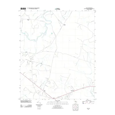
2011 Map of Olin
USGS Topo · Published 2011About this map
The winding Black River and its intricate network of tributaries define the landscape of this Georgetown County region. Small agricultural and residential clusters are scattered throughout the lowlands, including the settlements of Kent, Olin, and Bethel. Near the center of the map, the Bethel Cemetery serves as a significant genealogical landmark for local families. The terrain is characterized by extensive wetlands such as Brightman Swamp and Indian Hut Swamp, which historically influenced the placement of roads like Gapway Rd and Indian Hut Rd.
Find a feature on this map
72 named features on this map. Tap any name to fly to it.
Don’t see what you’re looking for? This feature index may not catch every label — zoom into the map to look around manually.
Map Details
Editions of this 2011 Olin Map
This is the sole edition of this map. No revisions or reprints were ever made.
Other maps of this area

1942 · Cedar Creek
USGS Topo · 1:24,000

1943 · Olin
USGS Topo · 1:31,680

1943 · Carvers Bay
USGS Topo · 1:24,000

1943 · Kilsock Bay
USGS Topo · 1:24,000

1943 · Rhems
USGS Topo · 1:24,000

1943 · Andrews
USGS Topo · 1:24,000

1943 · Georgetown North
USGS Topo · 1:24,000

1943 · Georgetown South
USGS Topo · 1:24,000

1946 · Indiantown
USGS Topo · 1:62,500

1947 · Georgetown South
USGS Topo · 1:24,000