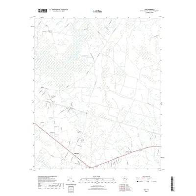
2020 Map of Olin
USGS Topo · Published 2020About this map
Black River and its extensive Black River Swamp define the low-lying geography of this Georgetown County region. Small residential clusters and historic communities are scattered along the local road network, including Olin, Kent, and Bethel. The presence of the Bethel Cem near the intersection of Gapway Rd and Chubbs Ln offers a specific point of interest for those researching local family lineages. The landscape is characterized by a high density of wetlands and named hydrological features like Indian Hut Swamp, Brightman Swamp, and the unique elliptical depression of Gapway Bay. This modern survey illustrates how long-established settlements such as Spring Gully and Oak Grove persist within a terrain dominated by swampy creek basins and forest.
Find a feature on this map
80 named features on this map. Tap any name to fly to it.
Don’t see what you’re looking for? This feature index may not catch every label — zoom into the map to look around manually.
Map Details
Editions of this 2020 Olin Map
This is the sole edition of this map. No revisions or reprints were ever made.
Other maps of this area

1942 · Cedar Creek
USGS Topo · 1:24,000

1943 · Olin
USGS Topo · 1:31,680

1943 · Carvers Bay
USGS Topo · 1:24,000

1943 · Kilsock Bay
USGS Topo · 1:24,000

1943 · Rhems
USGS Topo · 1:24,000

1943 · Andrews
USGS Topo · 1:24,000

1943 · Georgetown North
USGS Topo · 1:24,000

1943 · Georgetown South
USGS Topo · 1:24,000

1946 · Indiantown
USGS Topo · 1:62,500

1947 · Georgetown South
USGS Topo · 1:24,000