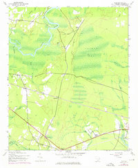
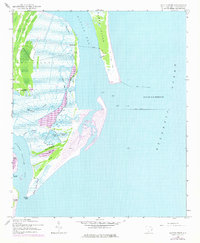
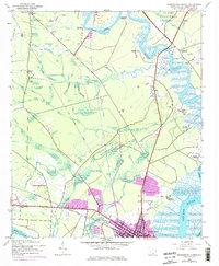
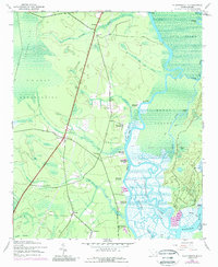
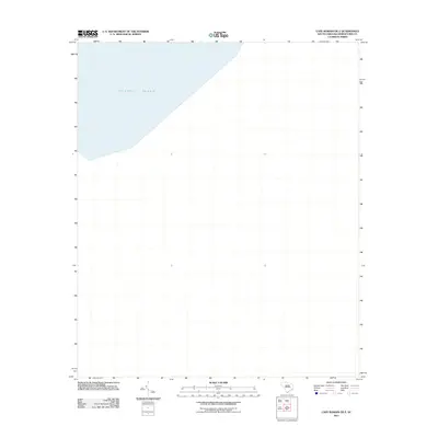
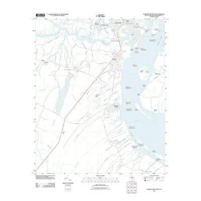
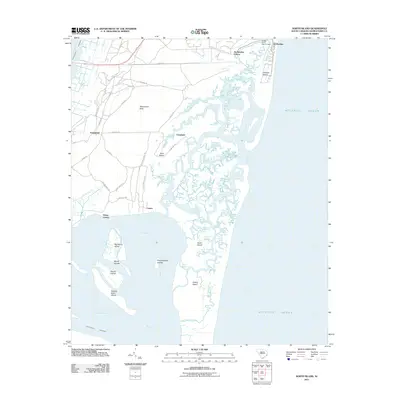
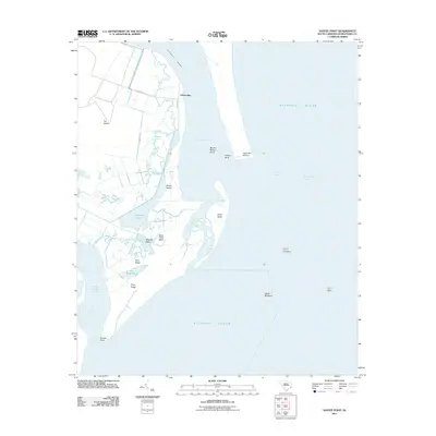
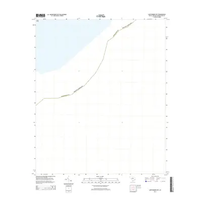
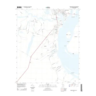
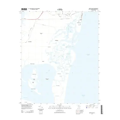
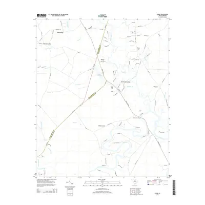
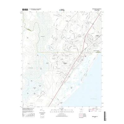
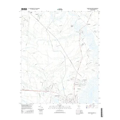
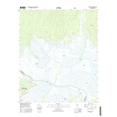
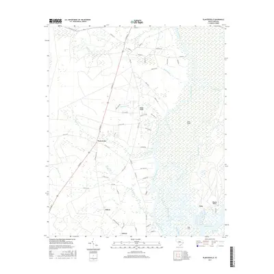
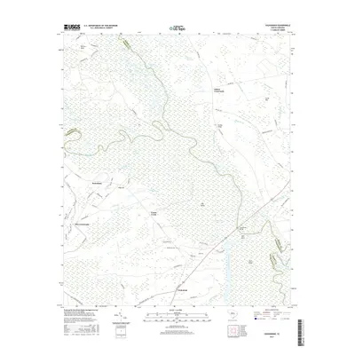
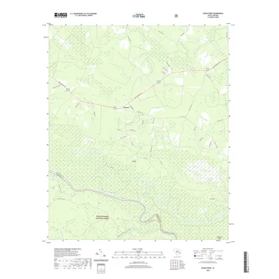
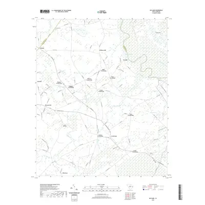
1943 Map of Olin
USGS Topo · Published 1976About this map
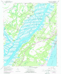
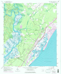
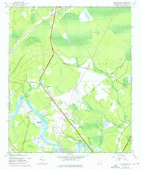
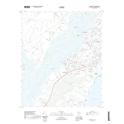
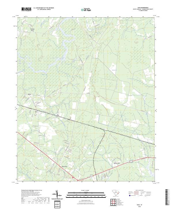
The Black River snakes through this portion of Georgetown County, defining a landscape of low-lying wetlands and timbered bays. This mid-century survey, based on 1940s data with later 1970s revisions, highlights the rural infrastructure of the era, where the Seaboard Coast Line railroad provided a vital corridor for small communities like Olin and Sampit Sta. Significant social hubs are visible throughout the quadrangle, including the Indian Hut Club near Kellys Pond and several country sanctuaries such as Bethel Ch and Newlight Ch. The geography is dominated by distinctive "bays" and swamps, most notably the expansive Gapway Bay and Brightman Swamp. For local historians and genealogists, the map preserves the exact locations of the Britt Branch Sch and the Bethel Cem, offering a clear view of the settlement patterns that existed before modern development altered the region's character.
Find a feature on this map
28 named features on this map. Tap any name to fly to it.
Don’t see what you’re looking for? This feature index may not catch every label — zoom into the map to look around manually.
Map Details
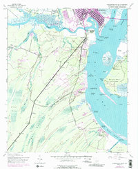
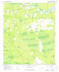
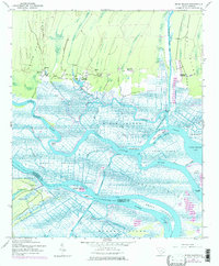
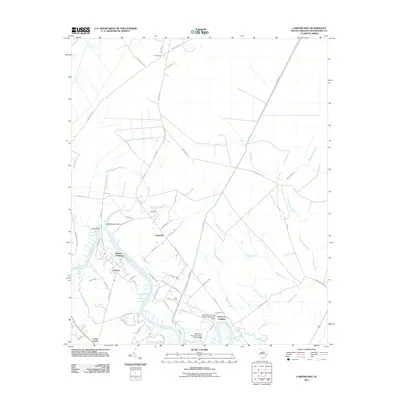
Editions of this 1943 Olin Map
3 editions found
Historical Maps of Kent Through Time
104 maps found

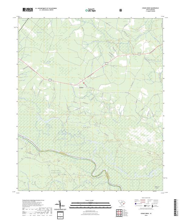
1942 Cedar Creek
Georgetown County, SC
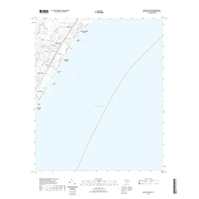
1942 Magnolia Beach
Georgetown County, SC

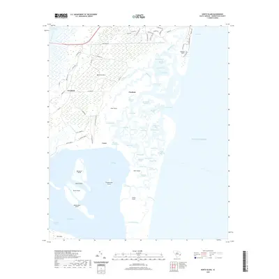
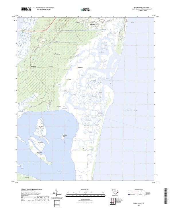
1942 North Island
Georgetown County, SC
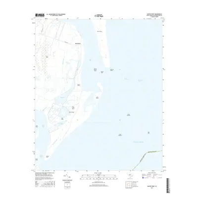
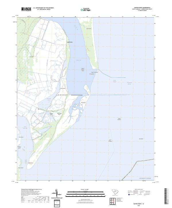
1942 Santee Point
Georgetown County, SC
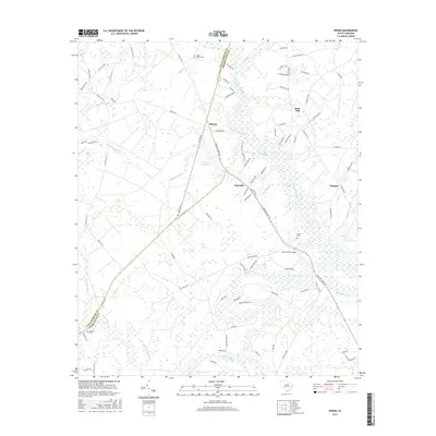
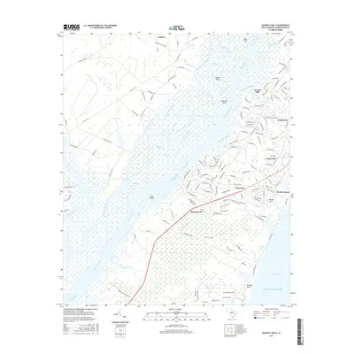
1942 Waverly Mills
Georgetown County, SC
1943 Brookgreen
Georgetown County, SC
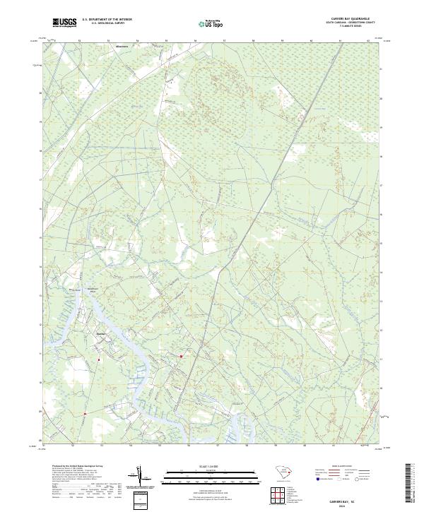
1943 Carvers Bay
Georgetown County, SC
1943 Georgetown North
Georgetown County, SC
1943 Georgetown South
Georgetown County, SC
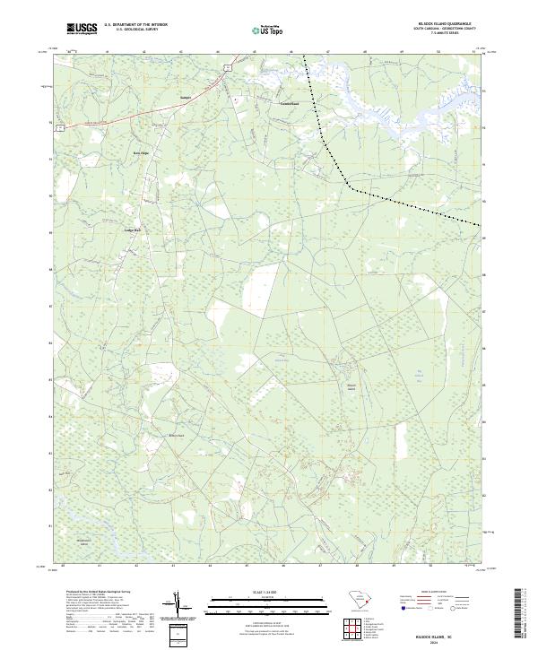
1943 Kilsock Bay
Georgetown County, SC
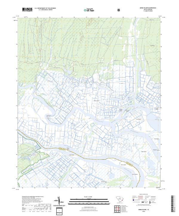
1943 Minim Island
Georgetown County, SC
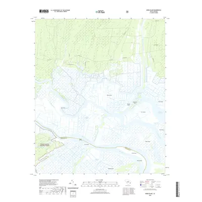
1943 Olin
Georgetown County, SC

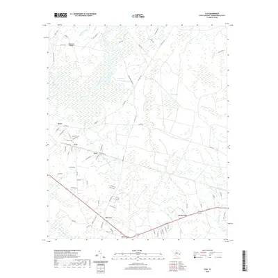
1943 Outland
Georgetown County, SC
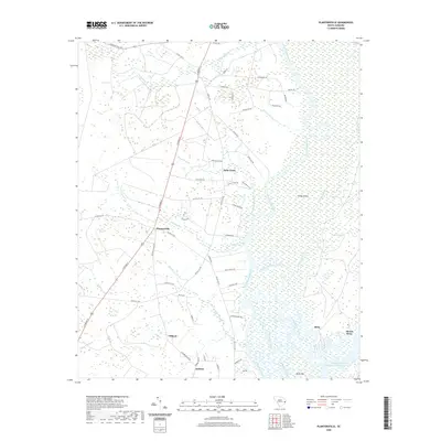
1943 Plantersville
Georgetown County, SC
1943 Rhems
Georgetown County, SC
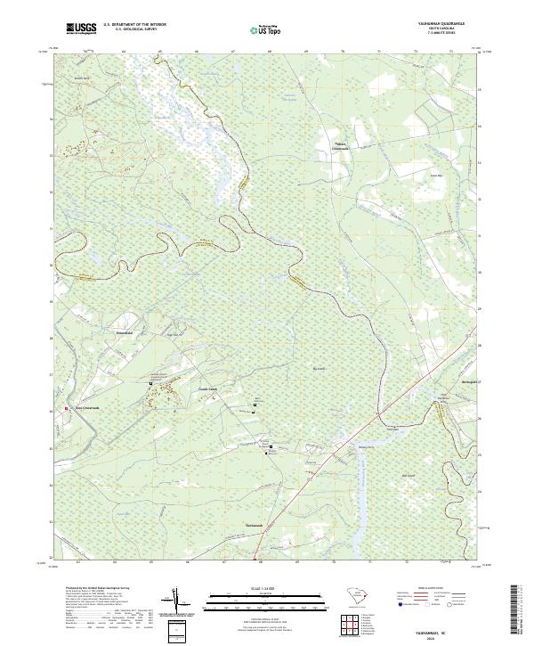
1943 Yauhannah
Georgetown County, SC

1944 Outland
Georgetown County, SC

1947 Georgetown South
Georgetown County, SC

1968 Georgetown South
Georgetown County, SC
2011 Brookgreen
Georgetown County, SC
2011 Cape Romain OE E
Georgetown County, SC
2011 Carvers Bay
Georgetown County, SC
2011 Cedar Creek
Georgetown County, SC
2011 Georgetown North
Georgetown County, SC
2011 Georgetown South
Georgetown County, SC
2011 Kilsock Island
Georgetown County, SC
2011 Magnolia Beach
Georgetown County, SC
2011 Minim Island
Georgetown County, SC
2011 North Island
Georgetown County, SC
2011 Olin
Georgetown County, SC
2011 Outland
Georgetown County, SC
2011 Plantersville
Georgetown County, SC

2011 Rhems
Georgetown County, SC
2011 Santee Point
Georgetown County, SC
2011 Waverly Mills
Georgetown County, SC
2011 Yauhannah
Georgetown County, SC
2014 Brookgreen
Georgetown County, SC
2014 Cape Romain OE E
Georgetown County, SC
2014 Carvers Bay
Georgetown County, SC
2014 Cedar Creek
Georgetown County, SC
2014 Georgetown North
Georgetown County, SC
2014 Georgetown South
Georgetown County, SC
2014 Kilsock Island
Georgetown County, SC
2014 Magnolia Beach
Georgetown County, SC
2014 Minim Island
Georgetown County, SC
2014 North Island
Georgetown County, SC
2014 Olin
Georgetown County, SC
2014 Outland
Georgetown County, SC
2014 Plantersville
Georgetown County, SC
2014 Rhems
Georgetown County, SC
2014 Santee Point
Georgetown County, SC
2014 Waverly Mills
Georgetown County, SC
2014 Yauhannah
Georgetown County, SC
2017 Brookgreen
Georgetown County, SC
2017 Cape Romain OE E
Georgetown County, SC
2017 Carvers Bay
Georgetown County, SC
2017 Cedar Creek
Georgetown County, SC
2017 Georgetown North
Georgetown County, SC
2017 Georgetown South
Georgetown County, SC
2017 Kilsock Island
Georgetown County, SC
2017 Magnolia Beach
Georgetown County, SC
2017 Minim Island
Georgetown County, SC
2017 North Island
Georgetown County, SC
2017 Olin
Georgetown County, SC
2017 Outland
Georgetown County, SC
2017 Plantersville
Georgetown County, SC
2017 Rhems
Georgetown County, SC
2017 Santee Point
Georgetown County, SC
2017 Waverly Mills
Georgetown County, SC
2017 Yauhannah
Georgetown County, SC
2020 Brookgreen
Georgetown County, SC
2020 Cape Romain OE E
Georgetown County, SC
2020 Carvers Bay
Georgetown County, SC
2020 Cedar Creek
Georgetown County, SC
2020 Georgetown North
Georgetown County, SC
2020 Georgetown South
Georgetown County, SC
2020 Kilsock Island
Georgetown County, SC
2020 Magnolia Beach
Georgetown County, SC
2020 Minim Island
Georgetown County, SC
2020 North Island
Georgetown County, SC
2020 Olin
Georgetown County, SC
2020 Outland
Georgetown County, SC
2020 Plantersville
Georgetown County, SC
2020 Rhems
Georgetown County, SC
2020 Santee Point
Georgetown County, SC
2020 Waverly Mills
Georgetown County, SC
2020 Yauhannah
Georgetown County, SC

2024 Brookgreen
Georgetown County, SC
2024 Cape Romain OE E
Georgetown County, SC
2024 Carvers Bay
Georgetown County, SC
2024 Cedar Creek
Georgetown County, SC

2024 Georgetown North
Georgetown County, SC

2024 Georgetown South
Georgetown County, SC
2024 Kilsock Island
Georgetown County, SC

2024 Magnolia Beach
Georgetown County, SC
2024 Minim Island
Georgetown County, SC
2024 North Island
Georgetown County, SC
2024 Olin
Georgetown County, SC
2024 Outland
Georgetown County, SC
2024 Plantersville
Georgetown County, SC
2024 Rhems
Georgetown County, SC
2024 Santee Point
Georgetown County, SC

2024 Waverly Mills
Georgetown County, SC
2024 Yauhannah
Georgetown County, SC