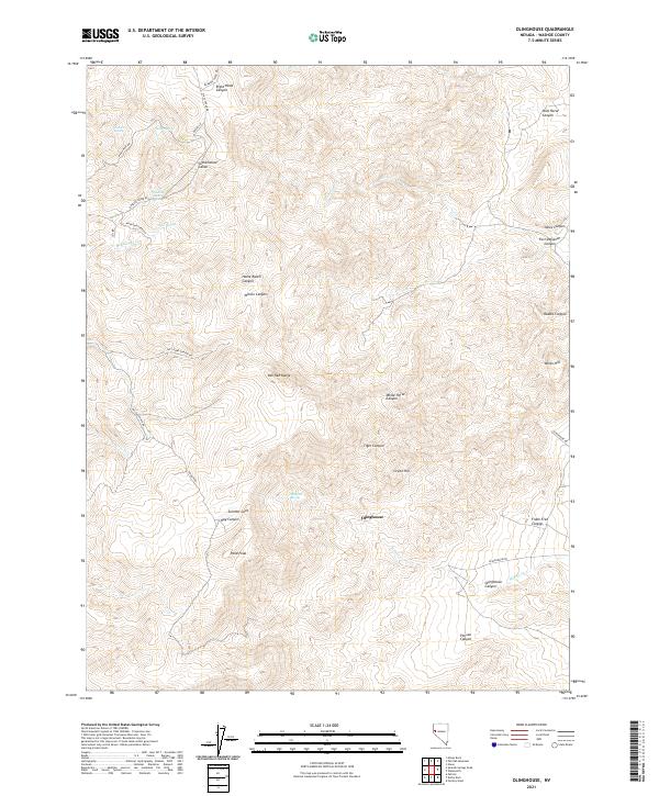
2021 Map of Olinghouse
USGS Topo · Published 2021About this map
Olinghouse sits within the high desert terrain of the Pah Rah Range, a region defined by complex canyon systems and seasonal water sources. The landscape is marked by deep geographic cuts such as Olinghouse Canyon, Tiger Canyon, and the curiously named Fort Defiance Canyon. Water is the primary driver of human footprint here, indicated by the presence of Jackass Spring, Sheehan Spring, and Quaking Aspen Spring. This high-altitude Nevada environment centers on the drainage of Millers Cr and includes prominent landmarks like Pond Peak and Summit Cave. Historically a mining area, the road network, including Wilcox Ranch Rd and Olinghouse Rd, traces the paths connecting these remote springs and canyon floors.
Find a feature on this map
43 named features on this map. Tap any name to fly to it.
Don’t see what you’re looking for? This feature index may not catch every label — zoom into the map to look around manually.
Map Details
Editions of this 2021 Olinghouse Map
This is the sole edition of this map. No revisions or reprints were ever made.
Other maps of this area

1890 · Wadsworth
USGS Topo · 1:125,000

1891 · Reno
USGS Topo · 1:125,000

1892 · Wadsworth
USGS Topo · 1:125,000

1893 · Reno
USGS Topo · 1:125,000

1894 · Wadsworth
USGS Topo · 1:125,000

1957 · Sutcliffe
USGS Topo · 1:62,500

1957 · Spanish Springs Valley
USGS Topo · 1:62,500

1957 · Wadsworth
USGS Topo · 1:62,500

1957 · Nixon
USGS Topo · 1:62,500

1957 · Reno
USGS Topo · 1:250,000