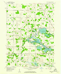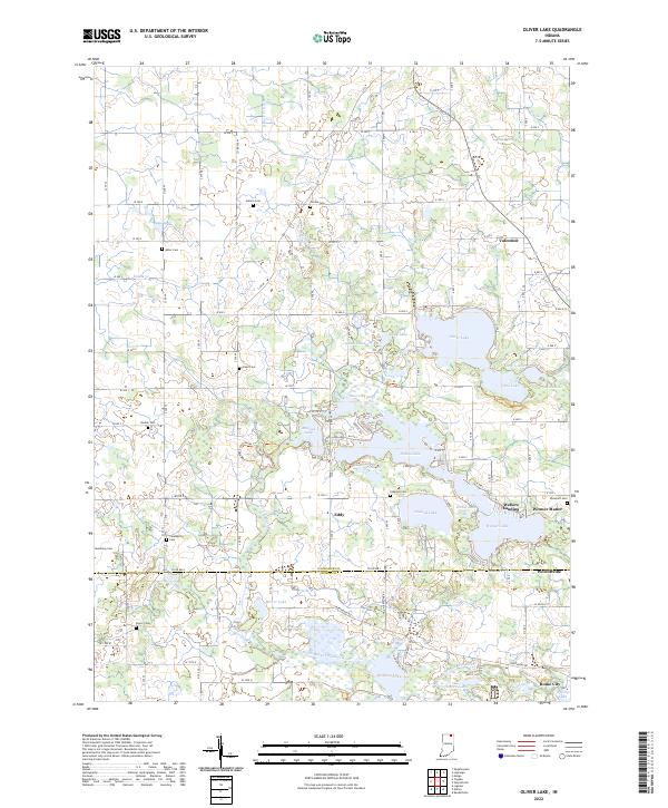
2022 Map of Oliver Lake
USGS Topo · Published 2022About this map
Oliver Lake and its interconnected neighbors dominate the landscape where the northern plains of Indiana meet the upper reaches of the Elkhart River system. This map illustrates a complex glaciated geography defined by a chain of water bodies including Olin Lake, Dallas Lake, and Witmer Lake, which are linked by the Oliver Lake Outlet. The settlement pattern is characterized by quiet clusters like Valentine and Eddy, along with residential developments such as Witmer Manor and Webers Landing.
Find a feature on this map
51 named features on this map. Tap any name to fly to it.
Don’t see what you’re looking for? This feature index may not catch every label — zoom into the map to look around manually.
Map Details
Editions of this 2022 Oliver Lake Map
This is the sole edition of this map. No revisions or reprints were ever made.
Historical Maps of Indiana Through Time
8 maps found