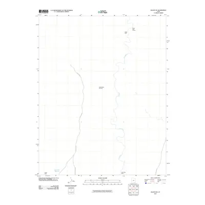
2011 Map of Oljato NE
USGS Topo · Published 2011About this map
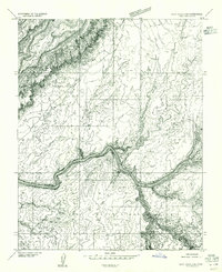
The Cedar Mesa Anticline dominates this high-desert landscape in San Juan County, Utah, providing a detailed look at the geological structures of the Four Corners region in the early 21st century. The map is defined by the winding course of the Oljato Wash, which meanders northward through a series of canyons and washes, including Castle Wash and Train Rock Wash. Modern infrastructure is represented by County Rd 469, which traces a path parallel to Moonlight Ridge along the western edge of the quadrangle. Significant water features like the Rock Dam Reservoir and the drainage of Water Tank Canyon highlight the importance of water management in this arid terrain. Topographical landmarks such as Organ Rock punctuate the southern boundary, anchoring the map's coverage of this sparsely settled portion of the Navajo Nation boundary lands.
Find a feature on this map
10 named features on this map. Tap any name to fly to it.
Don’t see what you’re looking for? This feature index may not catch every label — zoom into the map to look around manually.
Map Details
Editions of this 2011 Oljato NE Map
This is the sole edition of this map. No revisions or reprints were ever made.
Other maps of this area

1886 · Henry Mountains
USGS Topo · 1:250,000

1892 · Henry Mountains
USGS Topo · 1:250,000
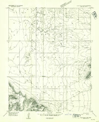
1952 · Clay Hills 4 SW
USGS Topo · 1:24,000
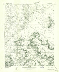
1952 · Clay Hills 3 SE
USGS Topo · 1:24,000
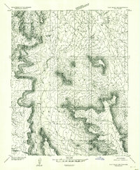
1952 · Clay Hills 3 SW
USGS Topo · 1:24,000
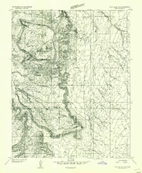
1952 · Clay Hills 3 NW
USGS Topo · 1:24,000
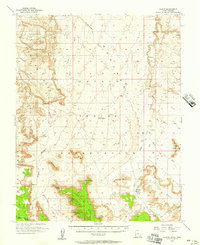
1952 · Oljeto
USGS Topo · 1:62,500
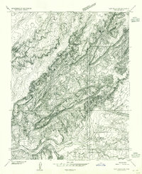
1954 · Clay Hills 2 SW
USGS Topo · 1:24,000
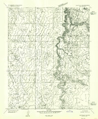
1954 · Clay Hills 3 NE
USGS Topo · 1:24,000
1954 · Clay Hills 2 SE
USGS Topo · 1:24,000