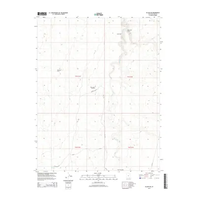
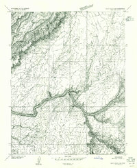
2014 Map of Oljato NE
USGS Topo · Published 2014About this map
Oljato Wash defines the drainage pattern of this high-desert landscape in San Juan County, cutting through the geologic heart of the region. The Cedar Mesa Anticline is a prominent structural feature, illustrating the uplifted strata that characterize this section of the Colorado Plateau. Human activity is sparse but evident through a network of primitive routes, including Moonlight Ridge Rd and Clark Rd, which provide access to this isolated terrain. Water management in this arid environment is highlighted by the Rock Dam Reservoir in the southwestern corner, a vital point for land use near Upper Gray Mesa Rd. The topography is a complex system of carved drainages such as Water Tank Canyon, Castle Wash, and Rockhouse Gulch, showing the intricate erosion patterns of the plateau's sandstone layers.
Find a feature on this map
16 named features on this map. Tap any name to fly to it.
Don’t see what you’re looking for? This feature index may not catch every label — zoom into the map to look around manually.
Map Details
Editions of this 2014 Oljato NE Map
This is the sole edition of this map. No revisions or reprints were ever made.
Other maps of this area

1886 · Henry Mountains
USGS Topo · 1:250,000

1892 · Henry Mountains
USGS Topo · 1:250,000
1952 · Clay Hills 4 SW
USGS Topo · 1:24,000
1952 · Clay Hills 3 SE
USGS Topo · 1:24,000
1952 · Clay Hills 3 SW
USGS Topo · 1:24,000
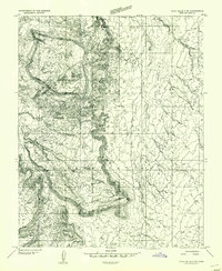
1952 · Clay Hills 3 NW
USGS Topo · 1:24,000
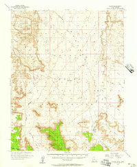
1952 · Oljeto
USGS Topo · 1:62,500
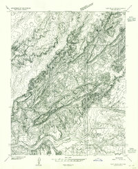
1954 · Clay Hills 2 SW
USGS Topo · 1:24,000
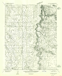
1954 · Clay Hills 3 NE
USGS Topo · 1:24,000
1954 · Clay Hills 2 SE
USGS Topo · 1:24,000