
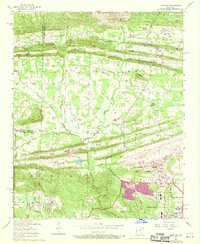
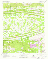
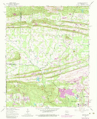
1954 Map of Olmstead
USGS Topo · Published 1957About this map
Backbone Ridge, Mill Creek Ridge, and Serving Ridge form a series of parallel east-west elevations that define the northern landscape of this Pulaski County region. The terrain is deeply marked by the winding courses of Bayou Meto and Little Bayou Meto, which weave through the central lowlands toward the growing footprint of Jacksonville. This mid-century survey captures a rural landscape in transition, where established family-centric landmarks like the Mount Valley Cemetery and Gibson Cemetery sit adjacent to the expanding Little Rock Air Force Base in the southeast. A dense network of country churches, including St Peters Rock Church and Zion Hill Church, anchors the small communities of Olmstead and Macon. The presence of the National Guard Training Area and Camp Joseph T Robinson along the western edge highlights the significant military footprint that shaped the development of this area during the post-war era.
Find a feature on this map
46 named features on this map. Tap any name to fly to it.
Don’t see what you’re looking for? This feature index may not catch every label — zoom into the map to look around manually.
Map Details
Editions of this 1954 Olmstead Map
4 editions found
Other maps of this area

1891 · Little Rock
USGS Topo · 1:125,000

1893 · Little Rock
USGS Topo · 1:125,000

1935 · Mc Almont
USGS Topo · 1:24,000

1935 · North Little Rock
USGS Topo · 1:24,000

1941 · Olmstead
USGS Topo · 1:31,680

1941 · Cabot
USGS Topo · 1:31,680

1943 · Jacksonville
USGS Topo · 1:31,680

1953 · Cato
USGS Topo · 1:24,000

1954 · Mc Almont
USGS Topo · 1:24,000
1954 · Jacksonville
USGS Topo · 1:24,000